1901 Map of Methow
USGS Topo · Published 1901About this map
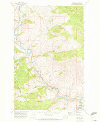
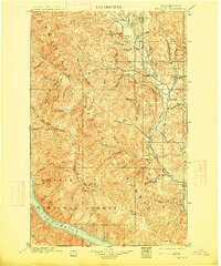
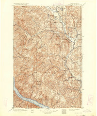
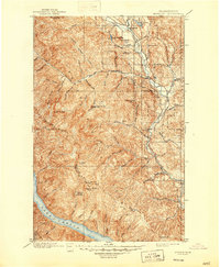
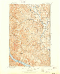
The Methow River corridor at the turn of the century serves as the primary axis for early settlement in this high-altitude region, which was surveyed by Charles D. Walcott and R.U. Goode just before the 1900s ended. The map captures the small frontier outposts of Winthrop, Silver, and Methow long before modern development transformed the valley. Much of the western territory is designated as the Washington Forest Reserve, a massive protected expanse dominated by the formidable Sawtooth Ridge and sharp summits like Oval Peak. In the southwest, the northern tip of Lake Chelan meets the mouths of Prince Creek and Canoe Creek, while to the north, alpine water bodies such as Patterson Lake and Pearrygin Lake dot the landscape near the West Fork and North Fork of the river. The intricate drainage patterns and deep incisions of Pipestone Canyon and Twisp Canyon reveal a geography defined by its dramatic relief.
Find a feature on this map
45 named features on this map. Tap any name to fly to it.
Don’t see what you’re looking for? This feature index may not catch every label — zoom into the map to look around manually.
Map Details
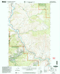
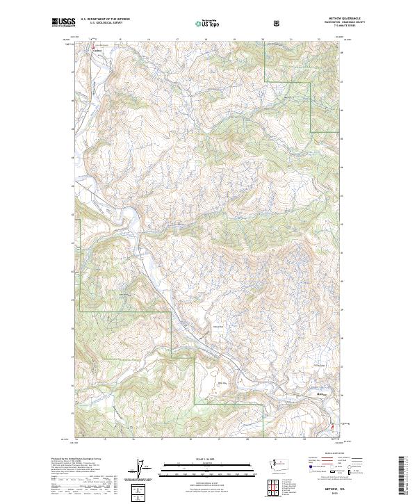
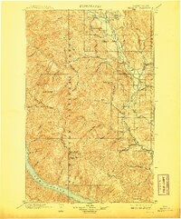
Editions of this 1901 Methow Map
6 editions found
Historical Maps of Twisp Through Time
5 maps found