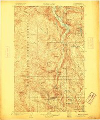
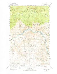
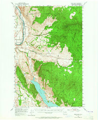
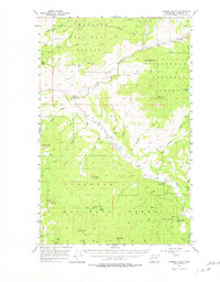
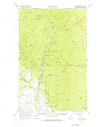
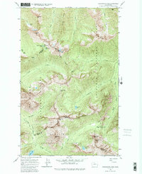
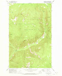
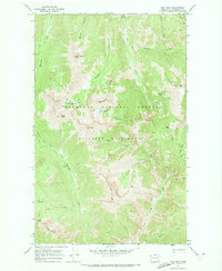
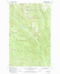
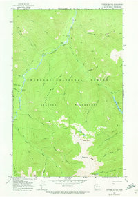
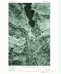
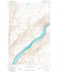
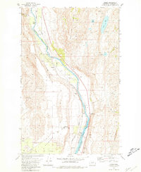
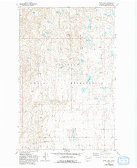
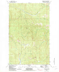
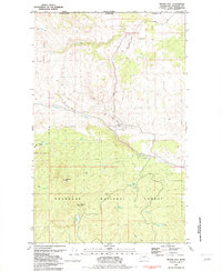
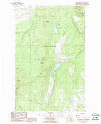
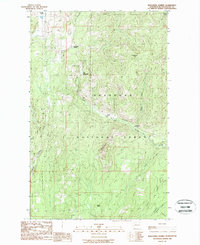
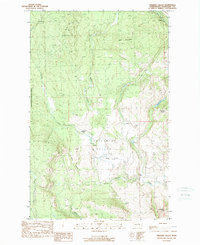
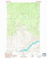
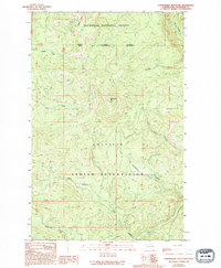
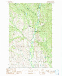
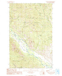
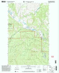
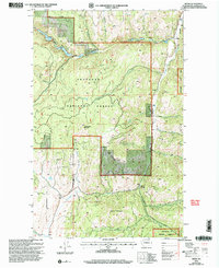
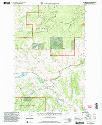
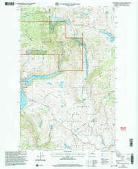
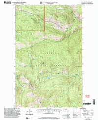
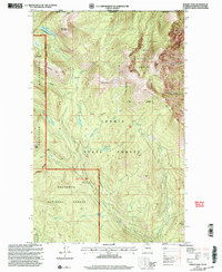
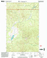
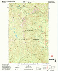
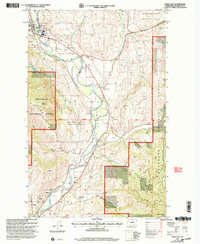
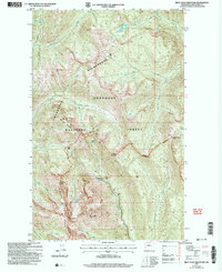
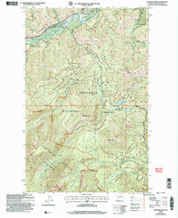
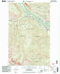
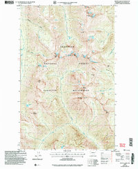
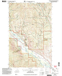
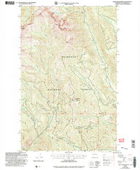
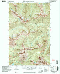
1906 Map of Chopaka
USGS Topo · Published 1906About this map
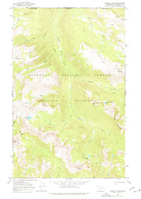
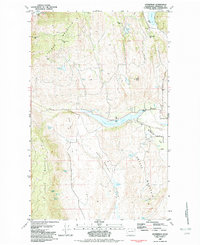
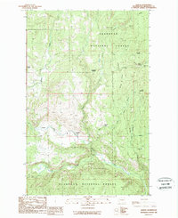
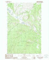
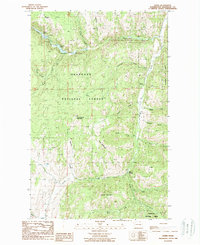
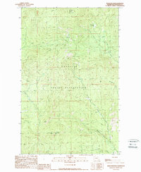
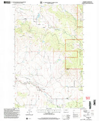
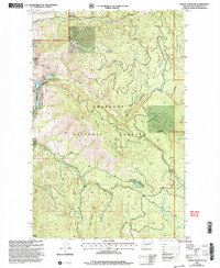
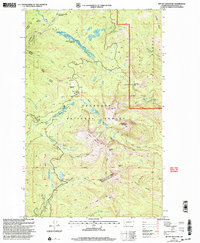
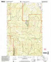
Conconully sits at the southern edge of this mountain-dominated landscape, serving as a hub for the early 20th-century mining districts of Okanogan County. The terrain transitions from the deep valley of the Similkameen River near Nighthawk and the United States Canada Boundary Line into the high peaks of the Washington Forest Reserve. Mining activity is heavily concentrated around Palmer Mtn, where the Grandview Mine, Ivanhoe Mine, and Rainbow Mine mark the extraction efforts of the era. The settlement patterns follow the coulees and creek beds, with places like Loomis and Golden established near reliable water sources such as Palmer Lake and Spectacle Lake. Notable landmarks like Graveyard Flat and Mukamuk Pass provide specific points of interest for genealogists tracing family movements through this northern frontier territory during the early 1900s.
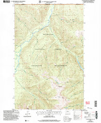
Find a feature on this map
73 named features on this map. Tap any name to fly to it.
Don’t see what you’re looking for? This feature index may not catch every label — zoom into the map to look around manually.
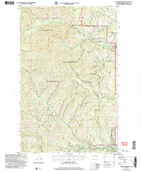
Map Details
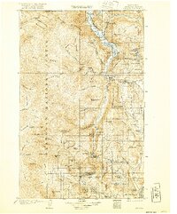
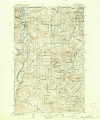
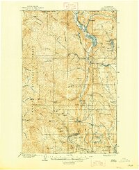
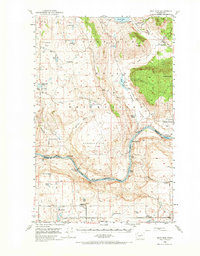
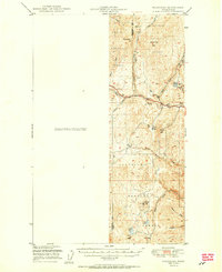
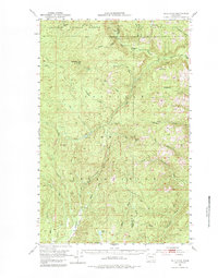
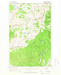
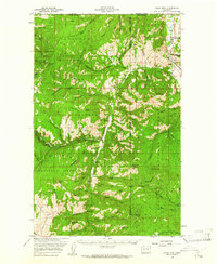
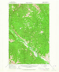
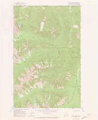
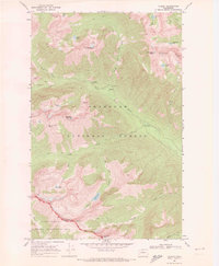
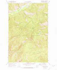
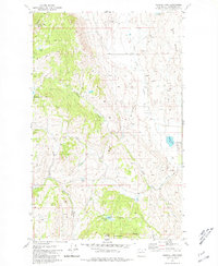
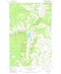
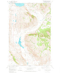
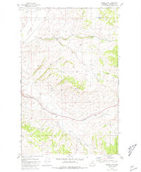
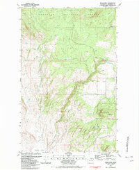
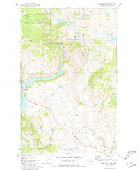
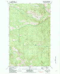
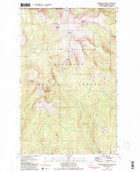
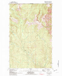
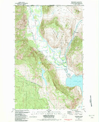
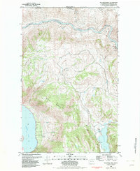
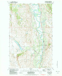
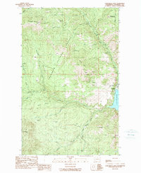
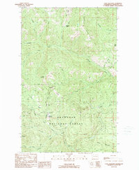
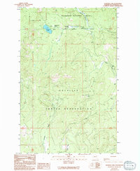
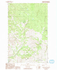
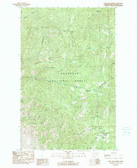
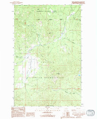
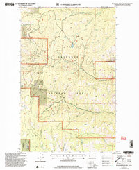
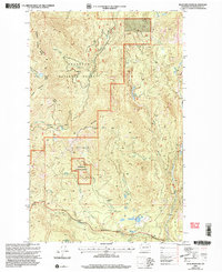
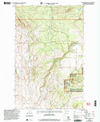
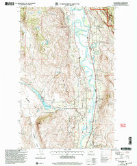
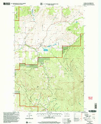
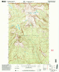
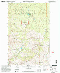
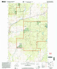
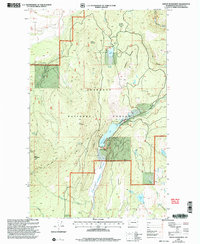
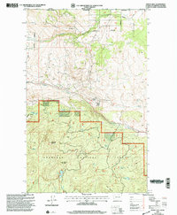
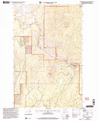
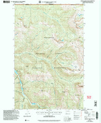
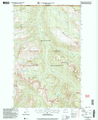
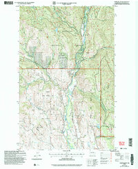
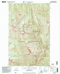
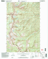
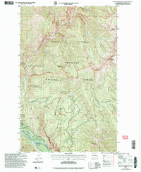
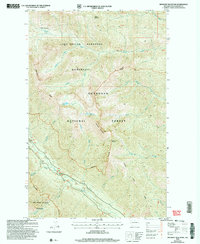
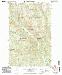
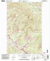
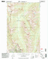
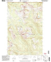
Editions of this 1906 Chopaka Map
3 editions found
Historical Maps of Riverside Through Time
283 maps found

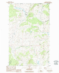
1902 Osoyoos
Okanogan County, WA
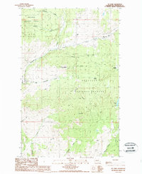
1904 Osoyoos
Okanogan County, WA
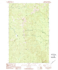
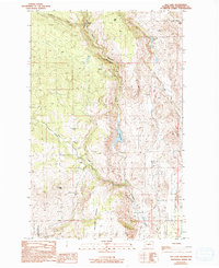
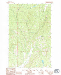
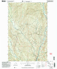
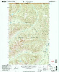
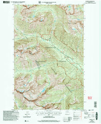
1906 Chopaka
Okanogan County, WA

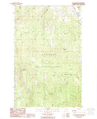
1920 Slate Pass
Okanogan County, WA
1950 Alameda Flat
Okanogan County, WA
1950 Boot Mtn
Okanogan County, WA

1951 Bodie Mountain
Okanogan County, WA
1951 Wauconda
Okanogan County, WA

1952 Alameda Flat
Okanogan County, WA
1953 Bald Knob
Okanogan County, WA
1953 Omak Lake
Okanogan County, WA
1956 Horseshoe Basin
Okanogan County, WA
1956 Loup Loup
Okanogan County, WA
1956 Tiffany Mountain
Okanogan County, WA
1957 Aeneas Valley
Okanogan County, WA
1957 Mt. Bonaparte
Okanogan County, WA

1958 Aeneas
Okanogan County, WA
1958 Bodie Mtn
Okanogan County, WA
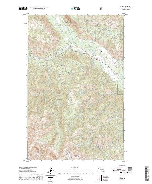
1962 Mazama
Okanogan County, WA
1963 Doe Mountain
Okanogan County, WA
1963 Robinson Mtn.
Okanogan County, WA
1963 Silver Star Mountain
Okanogan County, WA
1963 Slate Peak
Okanogan County, WA
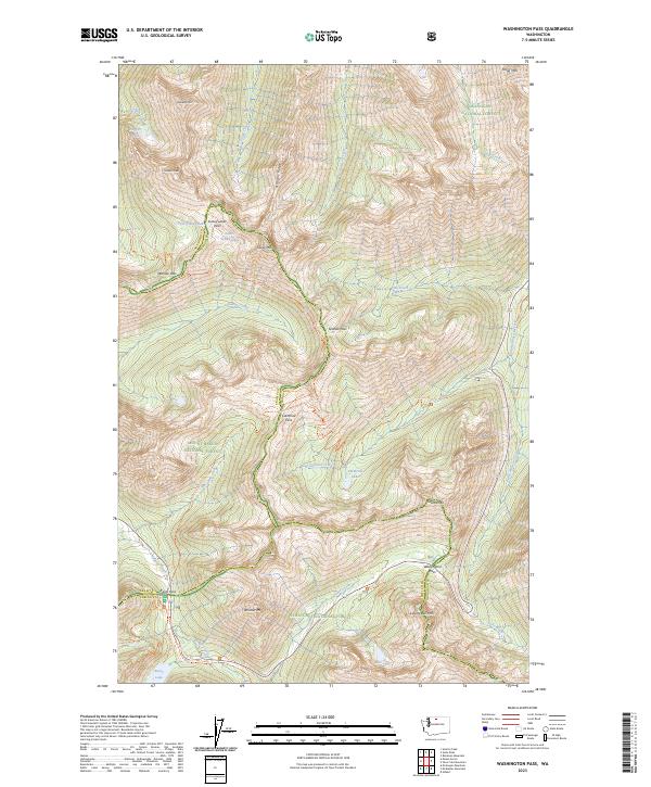
1963 Washington Pass
Okanogan County, WA
1968 Cooper Mtn
Okanogan County, WA
1968 Hungry Mtn
Okanogan County, WA
1969 Ashnola Mtn
Okanogan County, WA
1969 Ashnola Pass
Okanogan County, WA
1969 Bauerman Ridge
Okanogan County, WA

1969 Billy Goat Mtn
Okanogan County, WA
1969 Blue Buck Mtn
Okanogan County, WA
1969 Buttermilk Butte
Okanogan County, WA
1969 Coleman Peak
Okanogan County, WA
1969 Frosty Creek
Okanogan County, WA
1969 Gilbert
Okanogan County, WA
1969 Hoodoo Peak
Okanogan County, WA
1969 Lost Peak
Okanogan County, WA
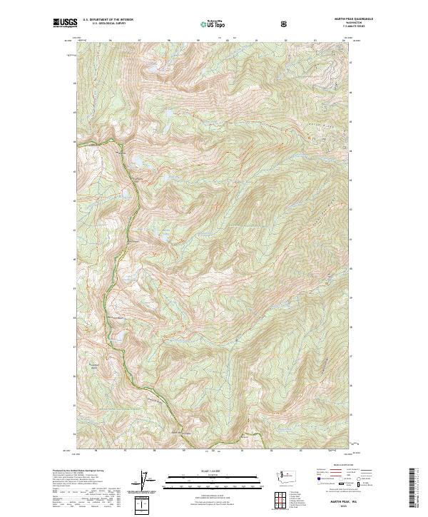
1969 Martin Peak
Okanogan County, WA
1969 Midnight Mtn.
Okanogan County, WA
1969 Mount Lago
Okanogan County, WA
1969 Mt Barney
Okanogan County, WA
1969 Oval Peak
Okanogan County, WA
1969 Pasayten Peak
Okanogan County, WA
1969 Remmel Mtn.
Okanogan County, WA
1969 Tatoosh Buttes
Okanogan County, WA
1969 Thompson Ridge
Okanogan County, WA
1969 Twisp East
Okanogan County, WA
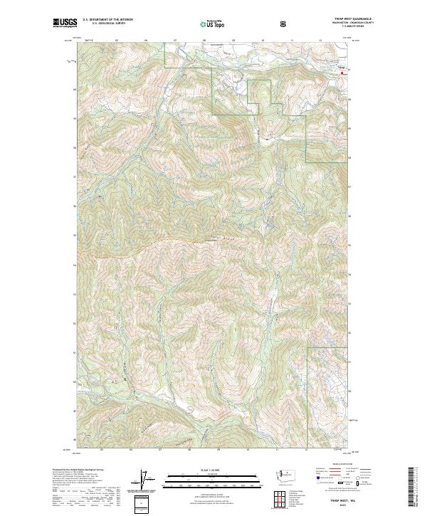
1969 Twisp West
Okanogan County, WA
1975 Oroville NW
Okanogan County, WA
1980 Aeneas Lake
Okanogan County, WA
1980 Blue Goat Mtn
Okanogan County, WA
1980 Boot Mountain
Okanogan County, WA
1980 Bridgeport Point
Okanogan County, WA
1980 Camp Seven
Okanogan County, WA
1980 Joe Lake
Okanogan County, WA
1980 Keystone
Okanogan County, WA
1980 Monse
Okanogan County, WA
1980 Omak Mountain
Okanogan County, WA
1980 Ruby Hill
Okanogan County, WA
1980 The Pothole
Okanogan County, WA
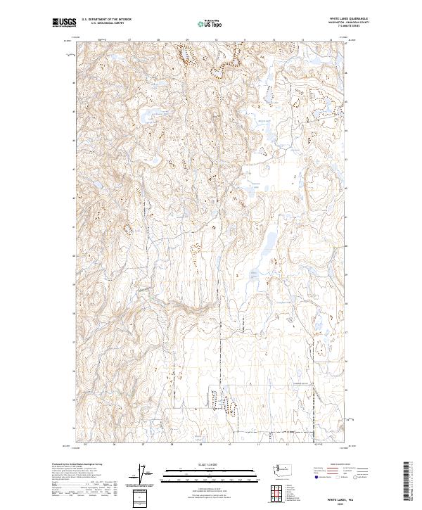
1980 White Lakes
Okanogan County, WA
1981 Barker Mtn
Okanogan County, WA
1981 Burge Mtn
Okanogan County, WA
1981 Conconully East
Okanogan County, WA
1981 Corral Butte
Okanogan County, WA
1981 Duncan Ridge
Okanogan County, WA
1981 Horseshoe Basin
Okanogan County, WA
1981 Hurley Peak
Okanogan County, WA
1981 Mount Hull
Okanogan County, WA
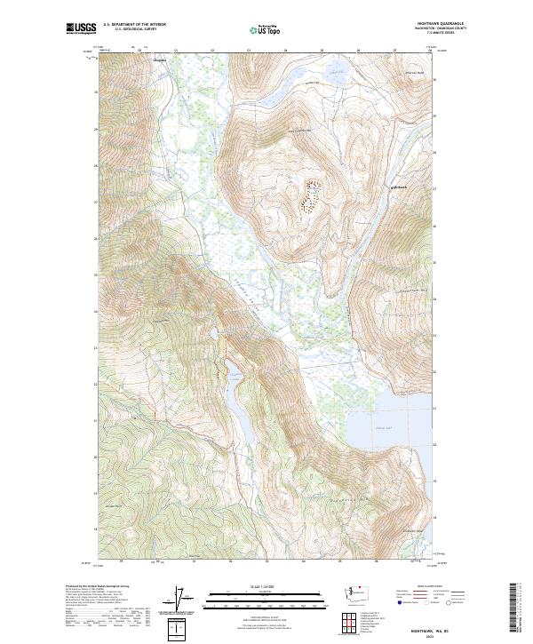
1981 Nighthawk
Okanogan County, WA
1982 Bullfrog Mtn
Okanogan County, WA
1982 Ellisforde
Okanogan County, WA
1982 Enterprise
Okanogan County, WA
1988 Aeneas
Okanogan County, WA
1988 Bailey Creek
Okanogan County, WA
1988 Bodie
Okanogan County, WA
1988 Buckhorn Mountain
Okanogan County, WA
1988 Cayuse Mountain
Okanogan County, WA
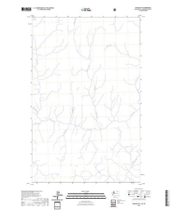
1988 Chesaw
Okanogan County, WA
1988 Havillah
Okanogan County, WA
1988 Molson
Okanogan County, WA
1988 Mt Annie
Okanogan County, WA
1988 Mt Bonaparte
Okanogan County, WA
1988 Tunk Mountain
Okanogan County, WA
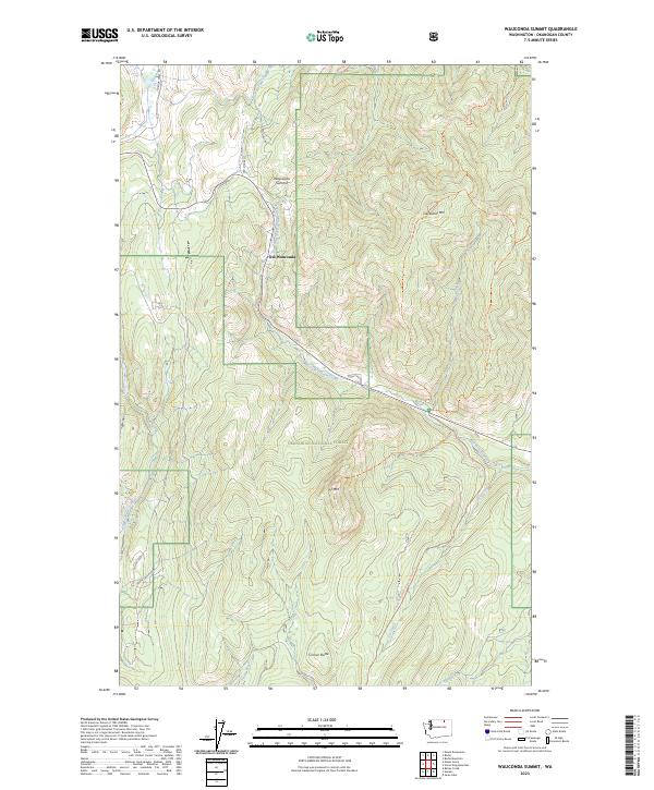
1988 Wauconda Summit
Okanogan County, WA
1989 Armstrong Creek
Okanogan County, WA
1989 Belvedere
Okanogan County, WA
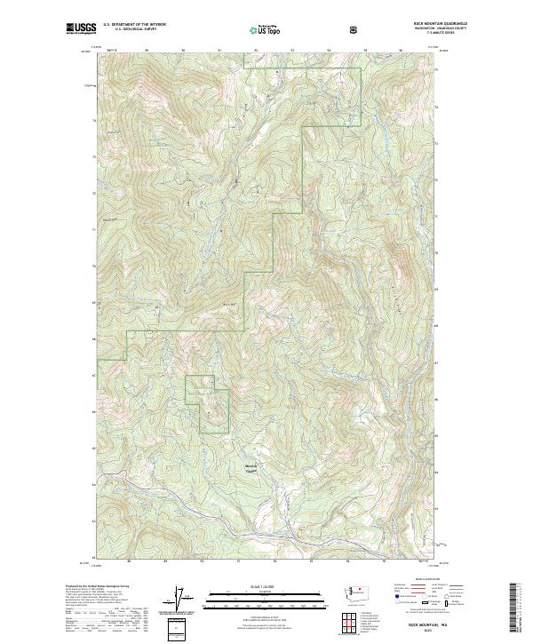
1989 Buck Mountain
Okanogan County, WA
1989 Chiliwist Valley
Okanogan County, WA
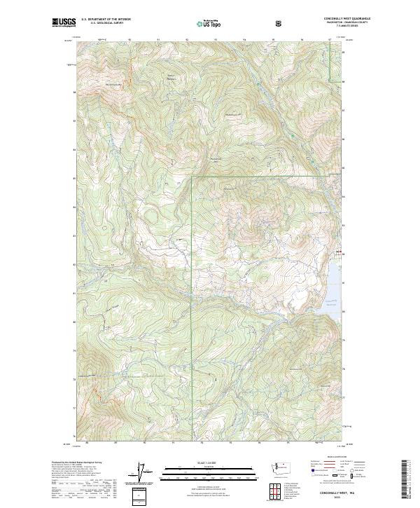
1989 Conconully West
Okanogan County, WA
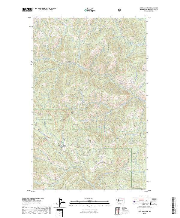
1989 Coxit Mountain
Okanogan County, WA
1989 Crawfish Lake
Okanogan County, WA
1989 Hopkins Canyon
Okanogan County, WA
1989 Knowlton Knob
Okanogan County, WA
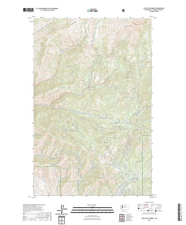
1989 Loup Loup Summit
Okanogan County, WA
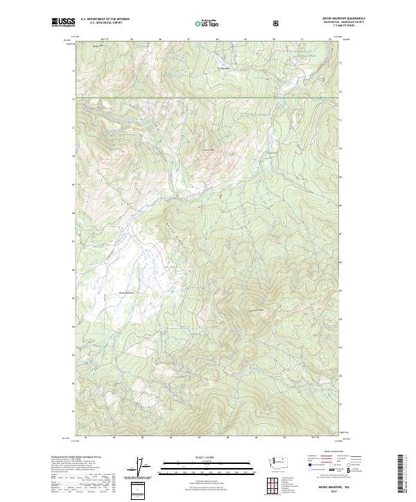
1989 Moses Meadows
Okanogan County, WA
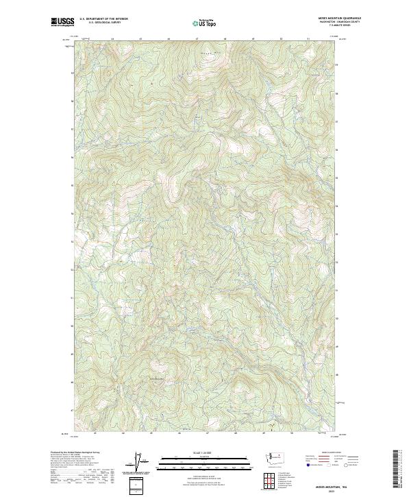
1989 Moses Mountain
Okanogan County, WA
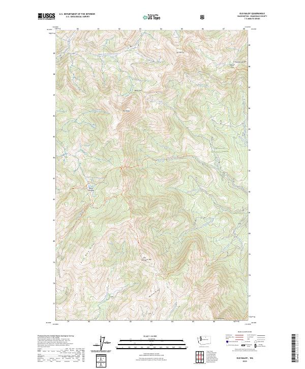
1989 Old Baldy
Okanogan County, WA
1989 Rat Lake
Okanogan County, WA
1989 Stepstone Creek
Okanogan County, WA
1989 Strawberry Mountain
Okanogan County, WA
1989 Thrapp Mtn
Okanogan County, WA
1989 Tiffany Mtn.
Okanogan County, WA
1991 Doe Mountain
Okanogan County, WA
1991 Lewis Butte
Okanogan County, WA
1991 Mazama
Okanogan County, WA
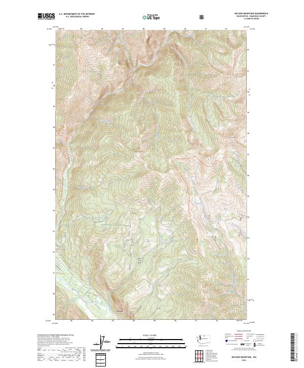
1991 Mc Leod Mountain
Okanogan County, WA
1991 Pearrygin Peak
Okanogan County, WA
1991 Rendevous Mountain
Okanogan County, WA
1991 Spur Peak
Okanogan County, WA
1991 Sweetgrass Butte
Okanogan County, WA
1993 Monse
Okanogan County, WA
2001 Bailey Creek
Okanogan County, WA
2001 Barker Mountain
Okanogan County, WA
2001 Bauerman Ridge
Okanogan County, WA
2001 Blue Buck Mountain
Okanogan County, WA
2001 Bodie
Okanogan County, WA
2001 Buckhorn Mountain
Okanogan County, WA
2001 Buck Mountain
Okanogan County, WA
2001 Burge Mountain
Okanogan County, WA
2001 Cayuse Mountain
Okanogan County, WA
2001 Chesaw
Okanogan County, WA
2001 Chiliwist Valley
Okanogan County, WA
2001 Coleman Peak
Okanogan County, WA
2001 Conconully East
Okanogan County, WA

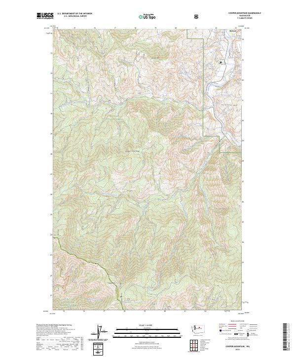
2001 Cooper Mountain
Okanogan County, WA
2001 Corral Butte
Okanogan County, WA
2001 Coxit Mountain
Okanogan County, WA
2001 Crawfish Lake
Okanogan County, WA
2001 Duncan Ridge
Okanogan County, WA
2001 Ellisforde
Okanogan County, WA
2001 Havillah
Okanogan County, WA
2001 Horseshoe Basin
Okanogan County, WA
2001 Hurley Peak
Okanogan County, WA
2001 Knowlton Knob
Okanogan County, WA
2001 Loup Loup Summit
Okanogan County, WA
2001 Molson
Okanogan County, WA
2001 Moses Meadows
Okanogan County, WA
2001 Mount Annie
Okanogan County, WA
2001 Mount Bonaparte
Okanogan County, WA
2001 Mount Hull
Okanogan County, WA
2001 Old Baldy
Okanogan County, WA
2001 Pearrygin Peak
Okanogan County, WA
2001 Spur Peak
Okanogan County, WA
2001 Strawberry Mountain
Okanogan County, WA
2001 Synarep
Okanogan County, WA
2001 Thrapp Mtn
Okanogan County, WA
2001 Tiffany Mountain
Okanogan County, WA
2001 Tunk Mountain
Okanogan County, WA
2001 Twisp East
Okanogan County, WA
2001 Wauconda Summit
Okanogan County, WA
2002 Ashnola Mountain
Okanogan County, WA
2002 Ashnola Pass
Okanogan County, WA
2002 Billy Goat Mountain
Okanogan County, WA
2002 Doe Mountain
Okanogan County, WA
2002 Frosty Creek
Okanogan County, WA
2002 Gilbert
Okanogan County, WA
2002 Hoodoo Peak
Okanogan County, WA
2002 Lewis Butte
Okanogan County, WA
2002 Lost Peak
Okanogan County, WA
2002 Martin Peak
Okanogan County, WA
2002 Mazama
Okanogan County, WA
2002 McLeod Mountain
Okanogan County, WA
2002 Midnight Mountain
Okanogan County, WA
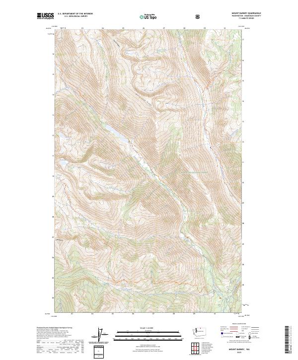
2002 Mount Barney
Okanogan County, WA
2002 Mount Lago
Okanogan County, WA
2002 Oval Peak
Okanogan County, WA
2002 Pasayten Peak
Okanogan County, WA
2002 Remmel Mountain
Okanogan County, WA
2002 Rendevous Mountain
Okanogan County, WA
2002 Robinson Mountain
Okanogan County, WA
2002 Silver Star Mountain
Okanogan County, WA
2002 Slate Peak
Okanogan County, WA
2002 Sweetgrass Butte
Okanogan County, WA
2002 Tatoosh Buttes
Okanogan County, WA
2002 Thompson Ridge
Okanogan County, WA
2002 Twisp West
Okanogan County, WA
2002 Washington Pass
Okanogan County, WA
2023 Aeneas Lake
Okanogan County, WA
2023 Aeneas
Okanogan County, WA
2023 Armstrong Creek
Okanogan County, WA
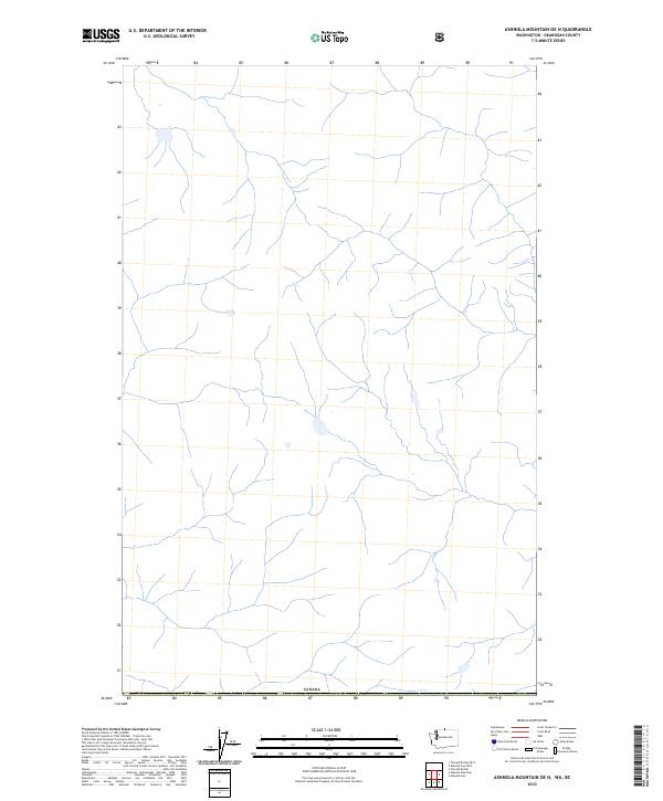
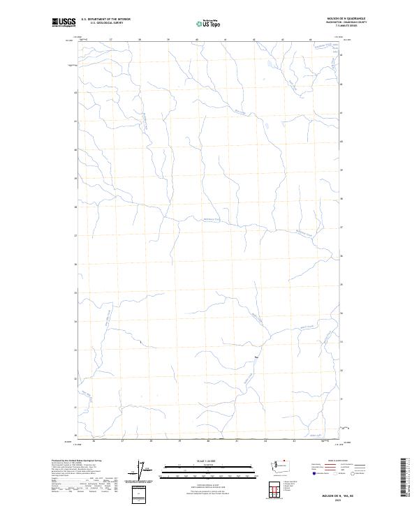
2023 Ashnola Mountain OE N
Okanogan County, WA
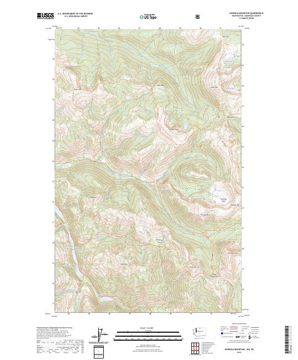
2023 Ashnola Mountain
Okanogan County, WA
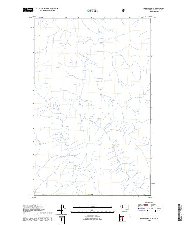
2023 Ashnola Pass OE N
Okanogan County, WA
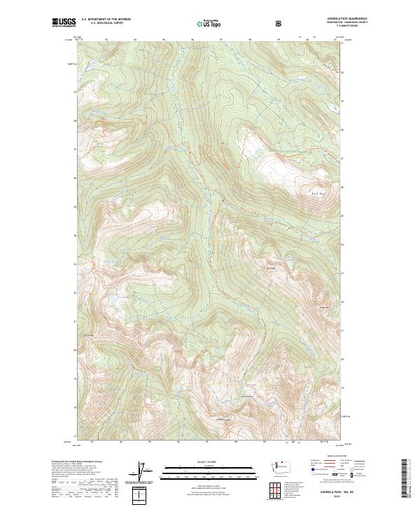
2023 Ashnola Pass
Okanogan County, WA
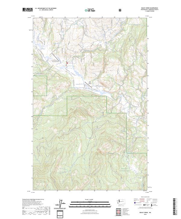
2023 Bailey Creek
Okanogan County, WA
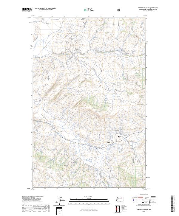
2023 Barker Mountain
Okanogan County, WA
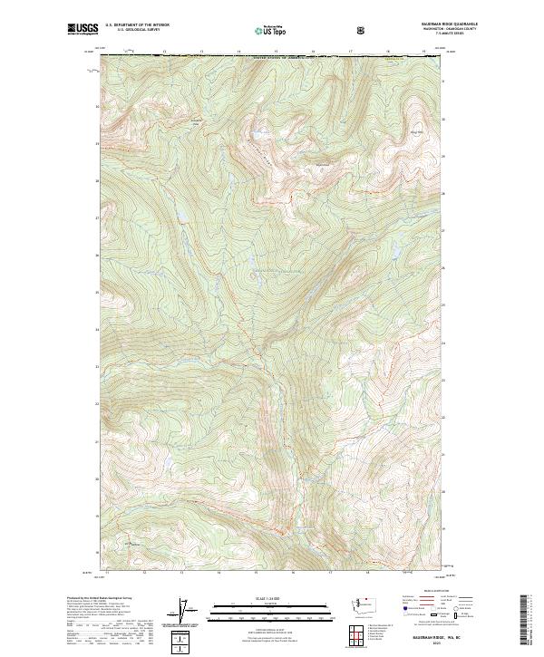
2023 Bauerman Ridge
Okanogan County, WA
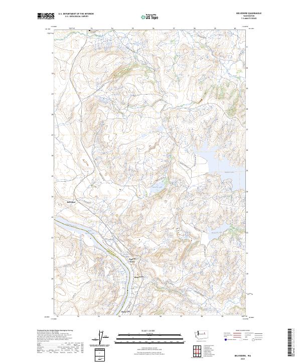
2023 Belvedere
Okanogan County, WA
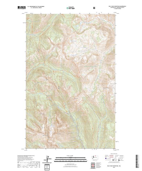
2023 Billy Goat Mountain
Okanogan County, WA
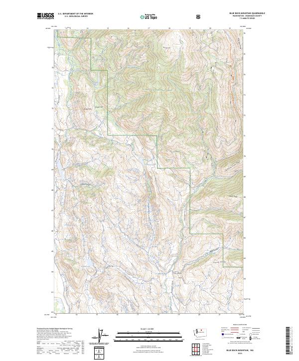
2023 Blue Buck Mountain
Okanogan County, WA
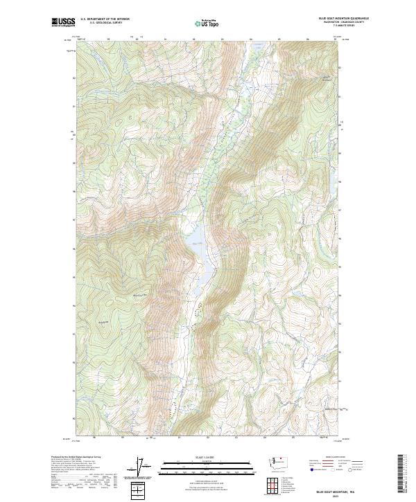
2023 Blue Goat Mountain
Okanogan County, WA
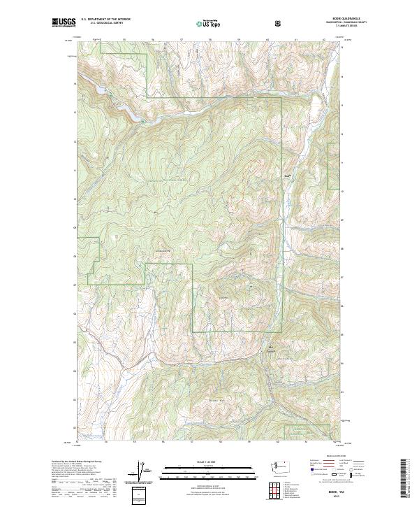
2023 Bodie
Okanogan County, WA
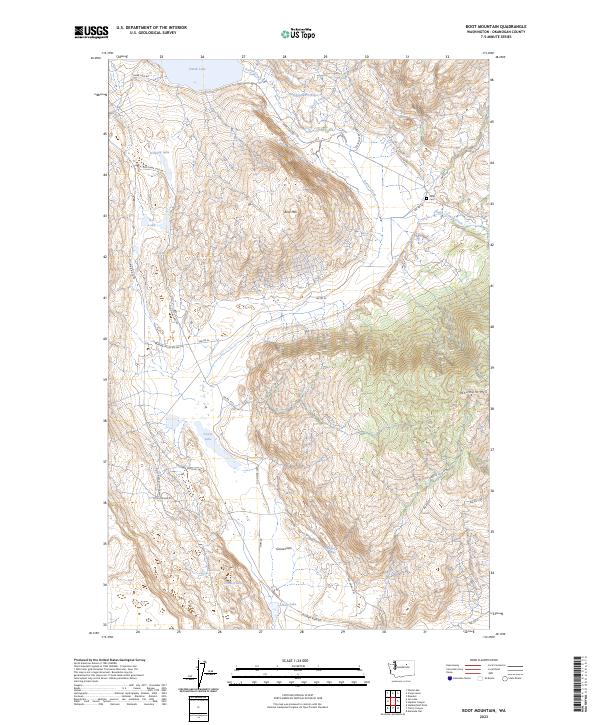
2023 Boot Mountain
Okanogan County, WA
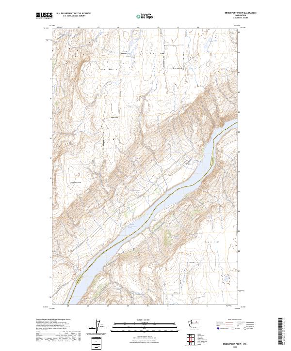
2023 Bridgeport Point
Okanogan County, WA
2023 Buckhorn Mountain OE N
Okanogan County, WA
2023 Buckhorn Mountain
Okanogan County, WA
2023 Buck Mountain
Okanogan County, WA
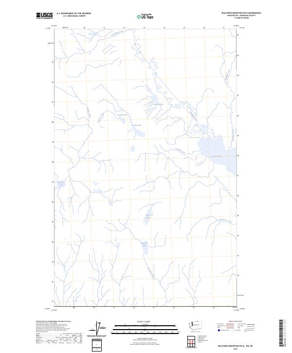
2023 Bullfrog Mountain OE N
Okanogan County, WA
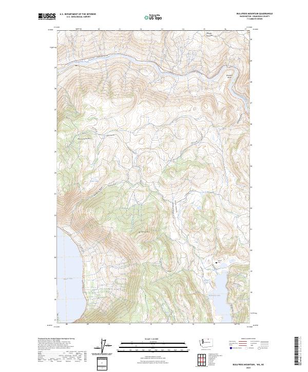
2023 Bullfrog Mountain
Okanogan County, WA
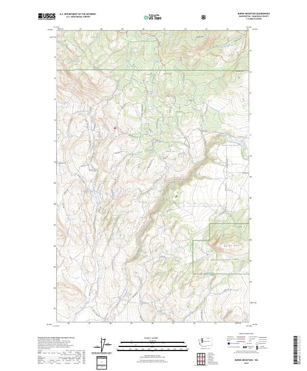
2023 Burge Mountain
Okanogan County, WA
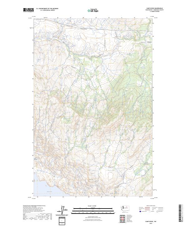
2023 Camp Seven
Okanogan County, WA
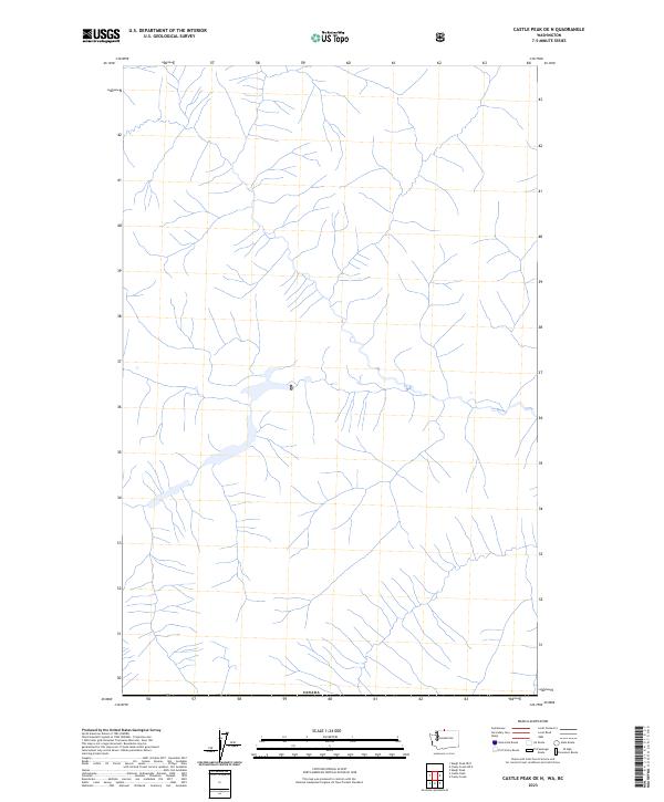
2023 Castle Peak OE N
Okanogan County, WA
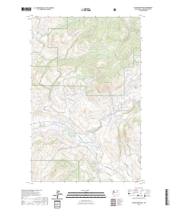
2023 Cayuse Mountain
Okanogan County, WA
2023 Chesaw OE N
Okanogan County, WA
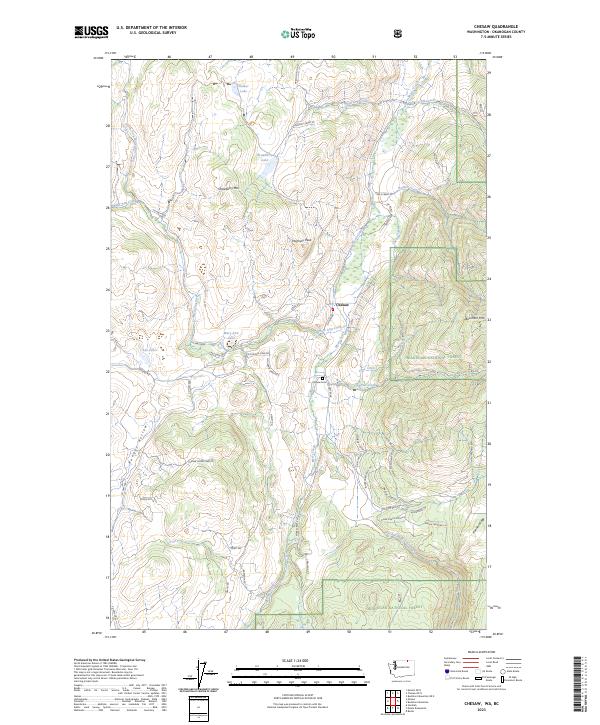
2023 Chesaw
Okanogan County, WA
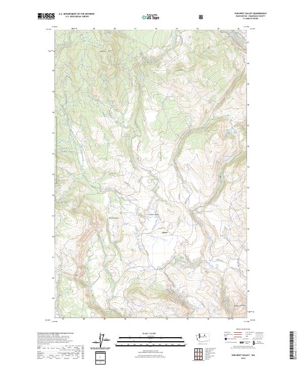
2023 Chiliwist Valley
Okanogan County, WA
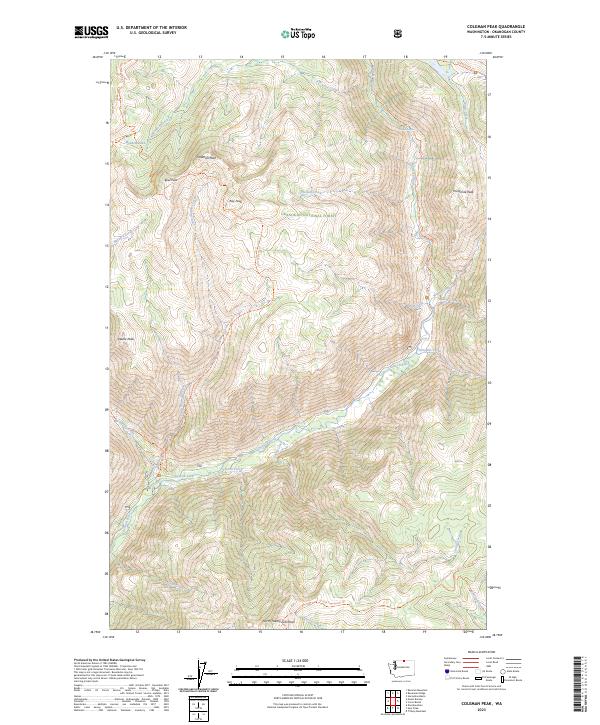
2023 Coleman Peak
Okanogan County, WA
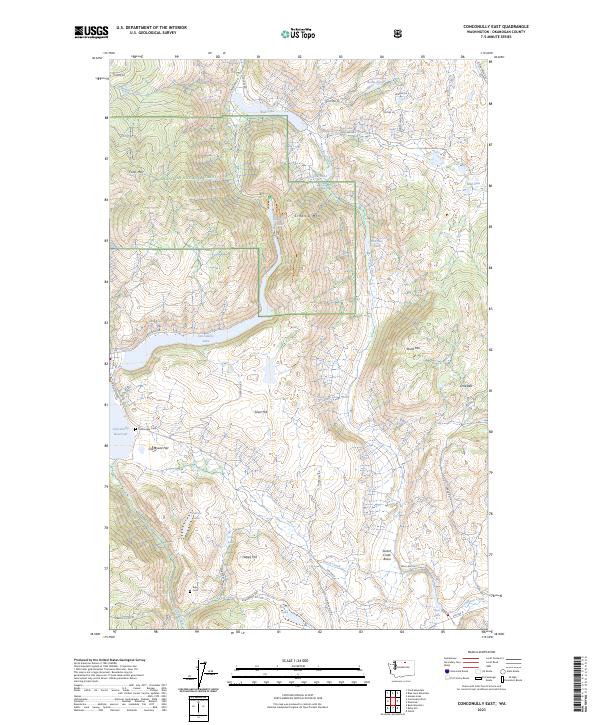
2023 Conconully East
Okanogan County, WA
2023 Conconully West
Okanogan County, WA
2023 Cooper Mountain
Okanogan County, WA
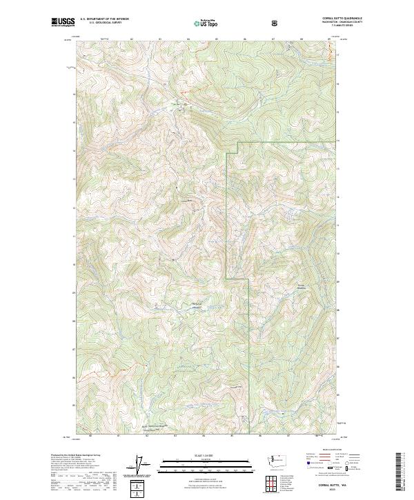
2023 Corral Butte
Okanogan County, WA
2023 Coxit Mountain
Okanogan County, WA
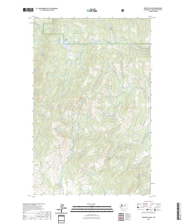
2023 Crawfish Lake
Okanogan County, WA
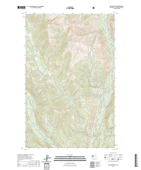
2023 Doe Mountain
Okanogan County, WA
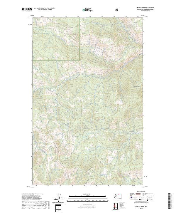
2023 Duncan Ridge
Okanogan County, WA
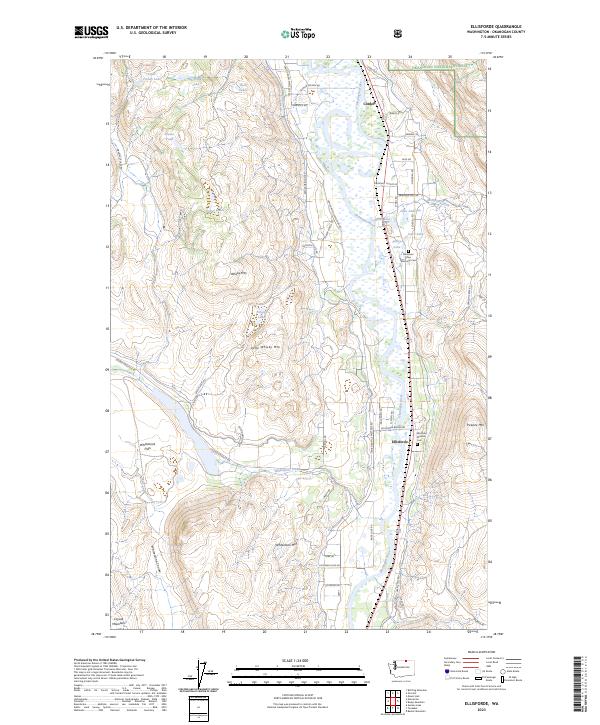
2023 Ellisforde
Okanogan County, WA
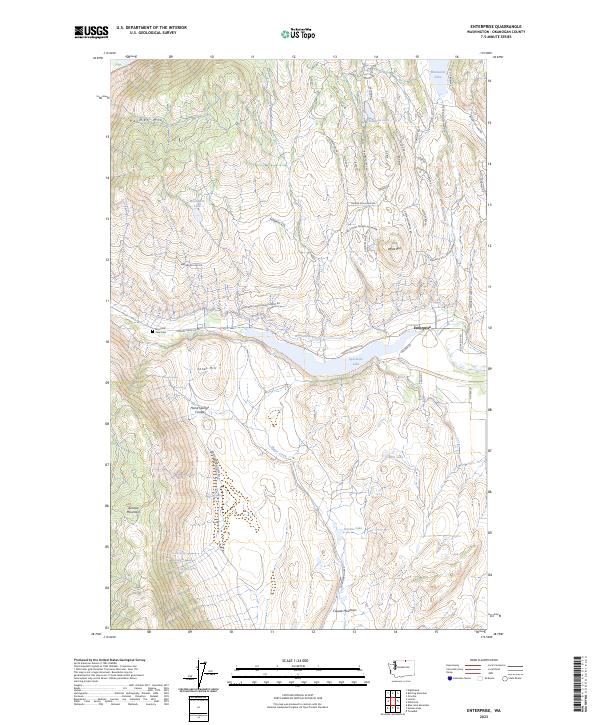
2023 Enterprise
Okanogan County, WA
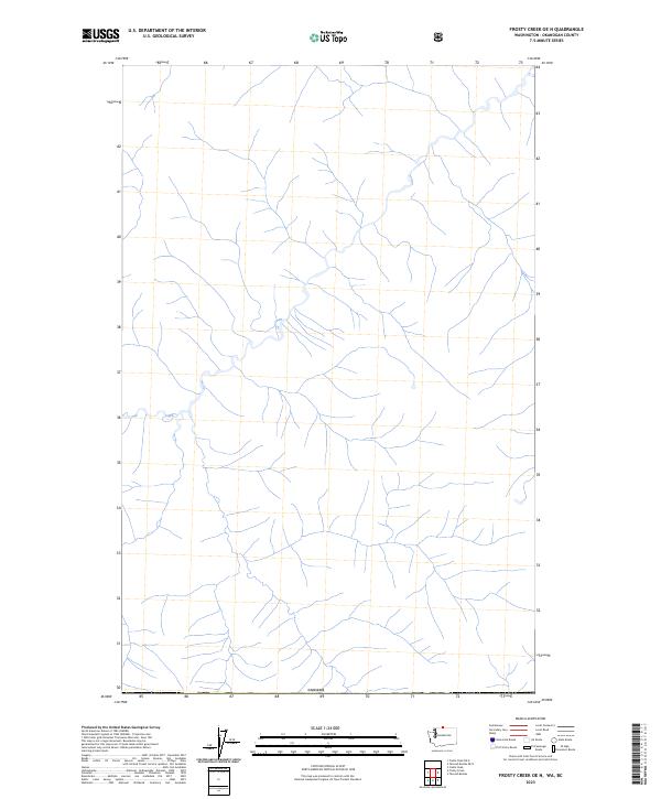
2023 Frosty Creek OE N
Okanogan County, WA
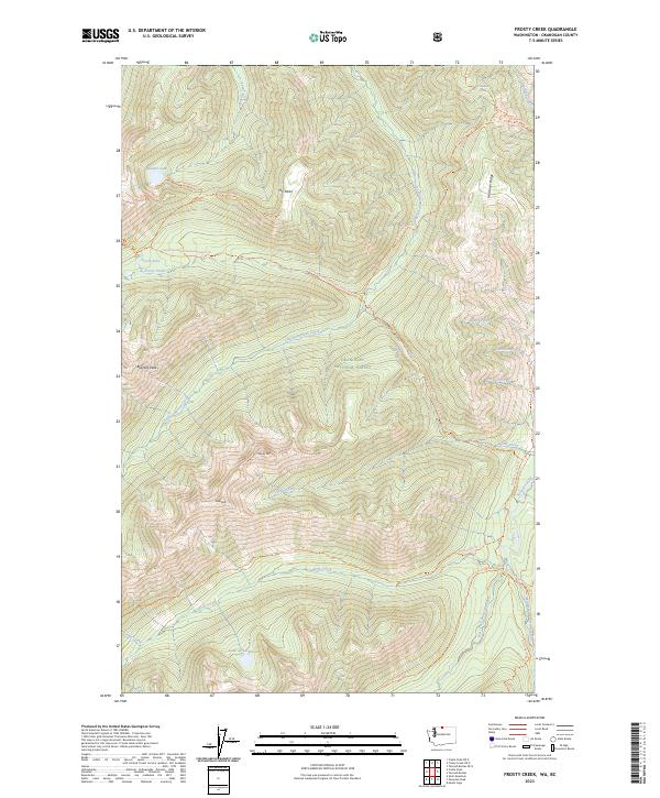
2023 Frosty Creek
Okanogan County, WA
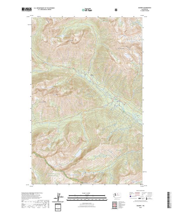
2023 Gilbert
Okanogan County, WA
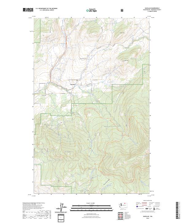
2023 Havillah
Okanogan County, WA
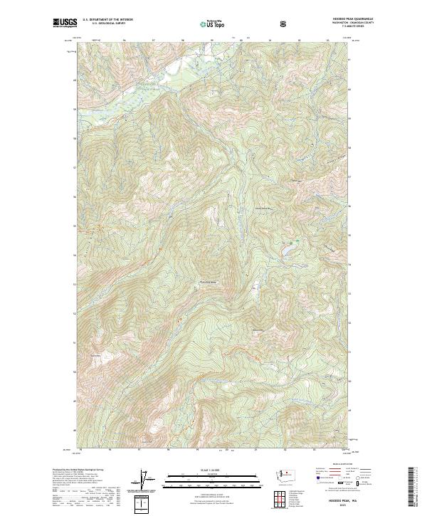
2023 Hoodoo Peak
Okanogan County, WA
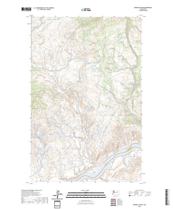
2023 Hopkins Canyon
Okanogan County, WA
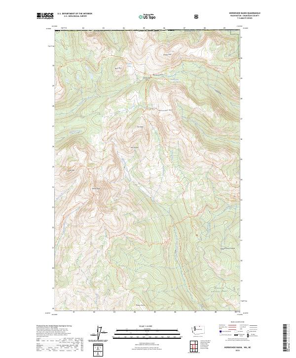
2023 Horseshoe Basin
Okanogan County, WA
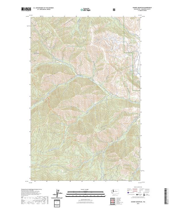
2023 Hungry Mountain
Okanogan County, WA
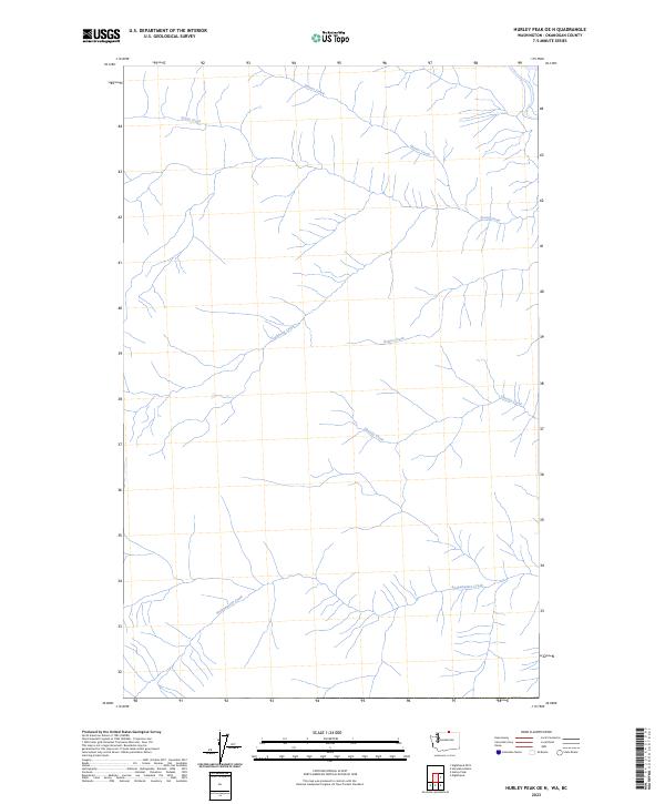
2023 Hurley Peak OE N
Okanogan County, WA
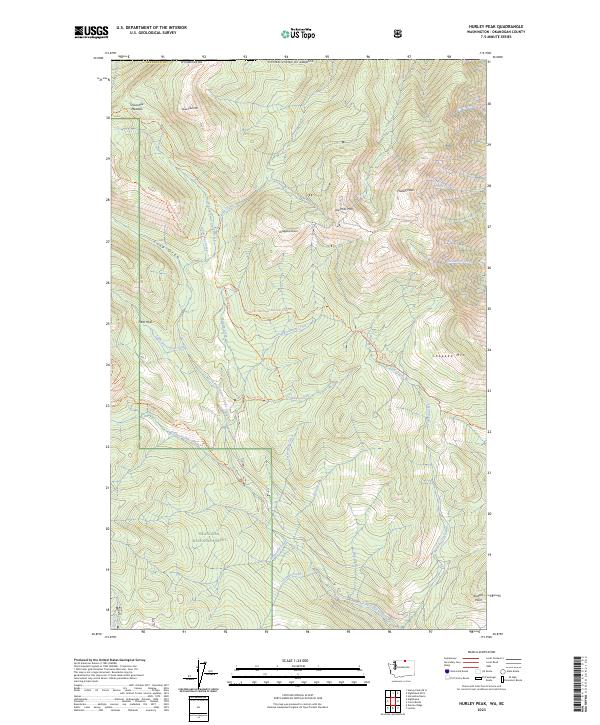
2023 Hurley Peak
Okanogan County, WA
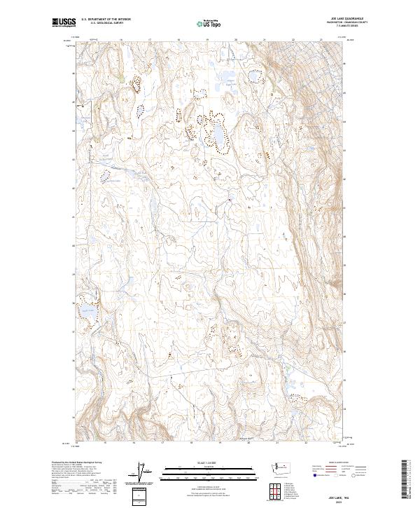
2023 Joe Lake
Okanogan County, WA
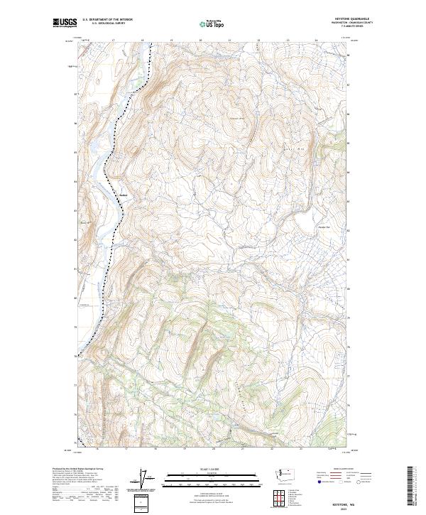
2023 Keystone
Okanogan County, WA
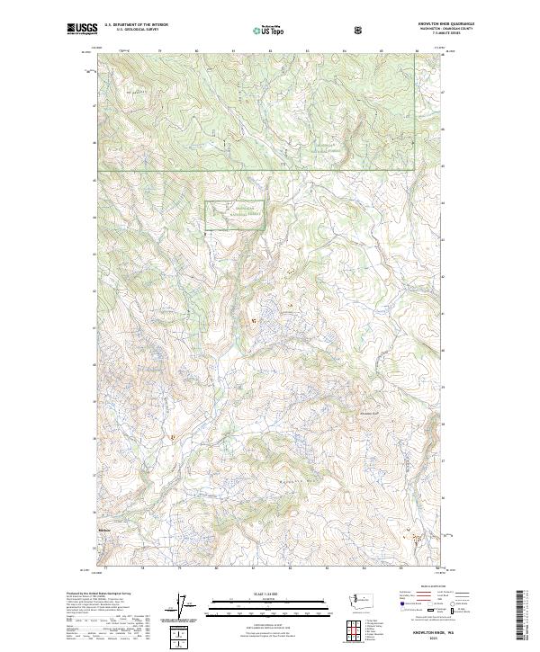
2023 Knowlton Knob
Okanogan County, WA
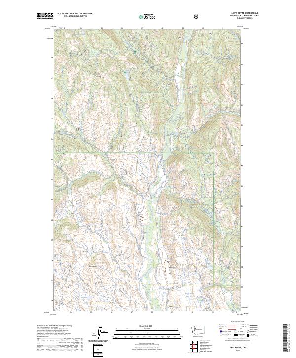
2023 Lewis Butte
Okanogan County, WA
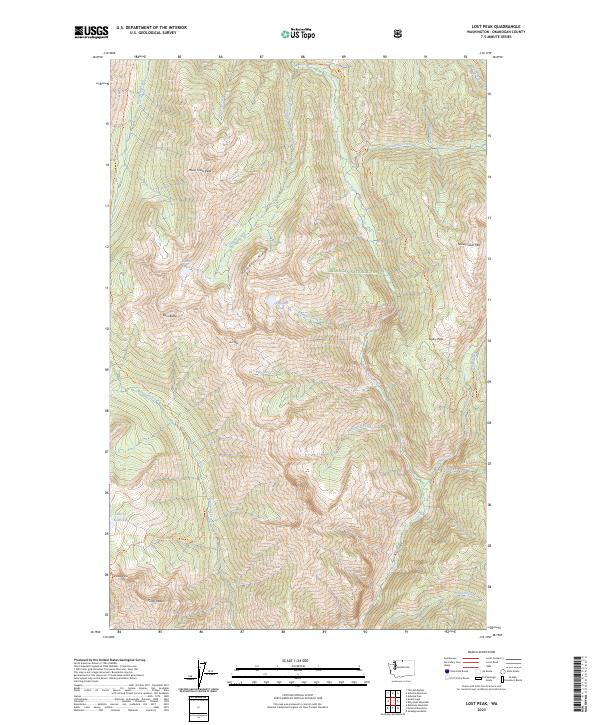
2023 Lost Peak
Okanogan County, WA
2023 Loup Loup Summit
Okanogan County, WA
2023 Martin Peak
Okanogan County, WA
2023 Mazama
Okanogan County, WA
2023 McLeod Mountain
Okanogan County, WA
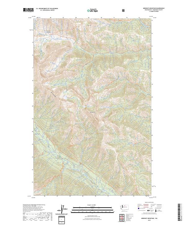
2023 Midnight Mountain
Okanogan County, WA
2023 Molson OE N
Okanogan County, WA
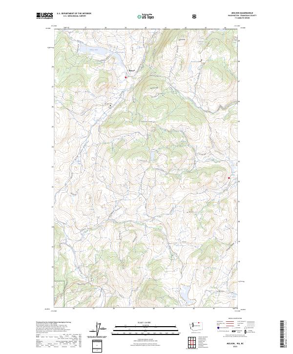
2023 Molson
Okanogan County, WA
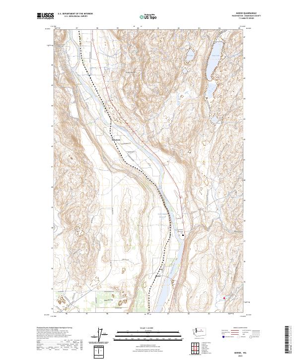
2023 Monse
Okanogan County, WA
2023 Moses Meadows
Okanogan County, WA
2023 Moses Mountain
Okanogan County, WA

2023 Mount Annie
Okanogan County, WA
2023 Mount Barney
Okanogan County, WA
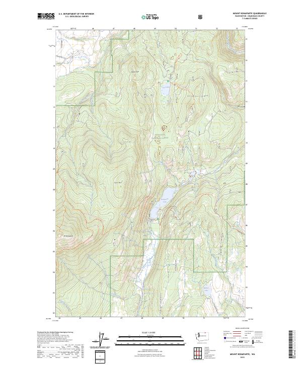
2023 Mount Bonaparte
Okanogan County, WA
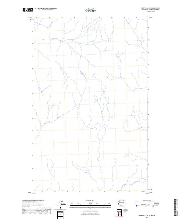
2023 Mount Hull OE N
Okanogan County, WA
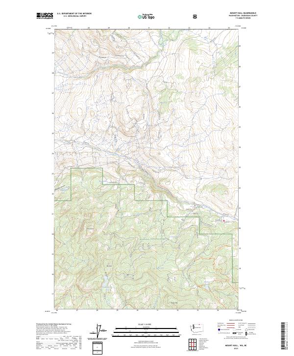
2023 Mount Hull
Okanogan County, WA
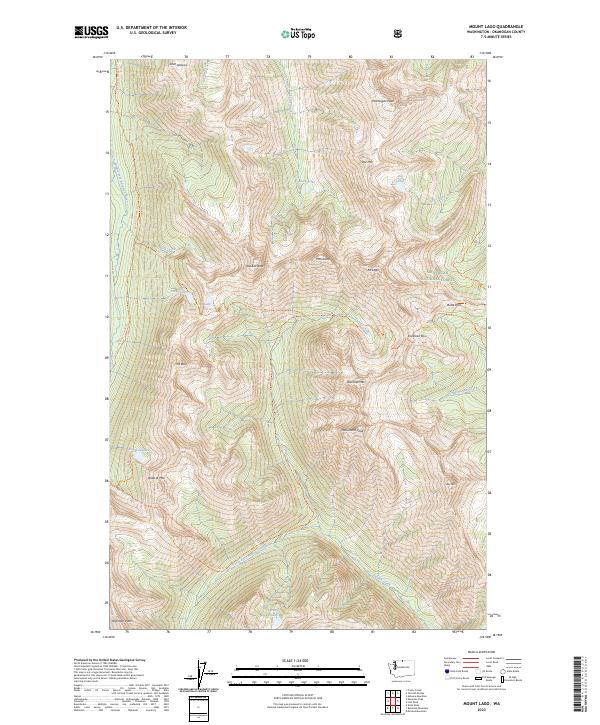
2023 Mount Lago
Okanogan County, WA
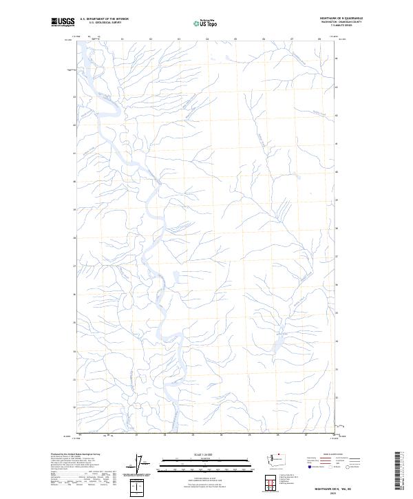
2023 Nighthawk OE N
Okanogan County, WA
2023 Nighthawk
Okanogan County, WA
2023 Old Baldy
Okanogan County, WA
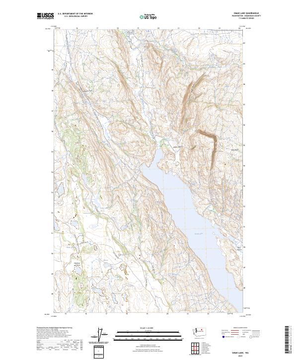
2023 Omak Lake
Okanogan County, WA
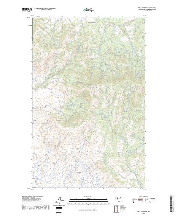
2023 Omak Mountain
Okanogan County, WA
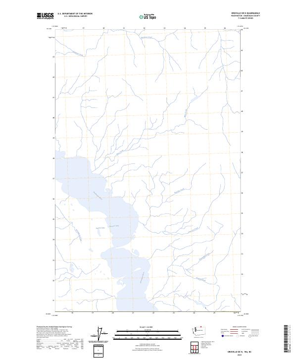
2023 Oroville OE N
Okanogan County, WA
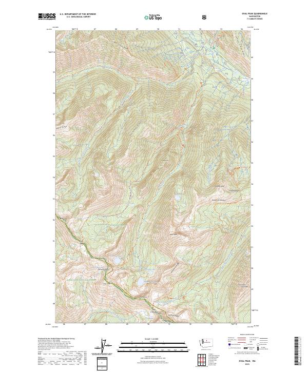
2023 Oval Peak
Okanogan County, WA
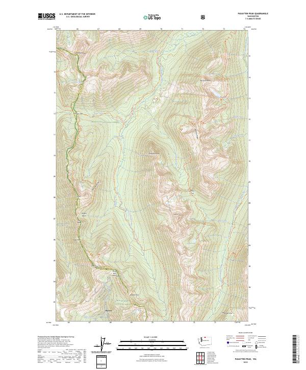
2023 Pasayten Peak
Okanogan County, WA
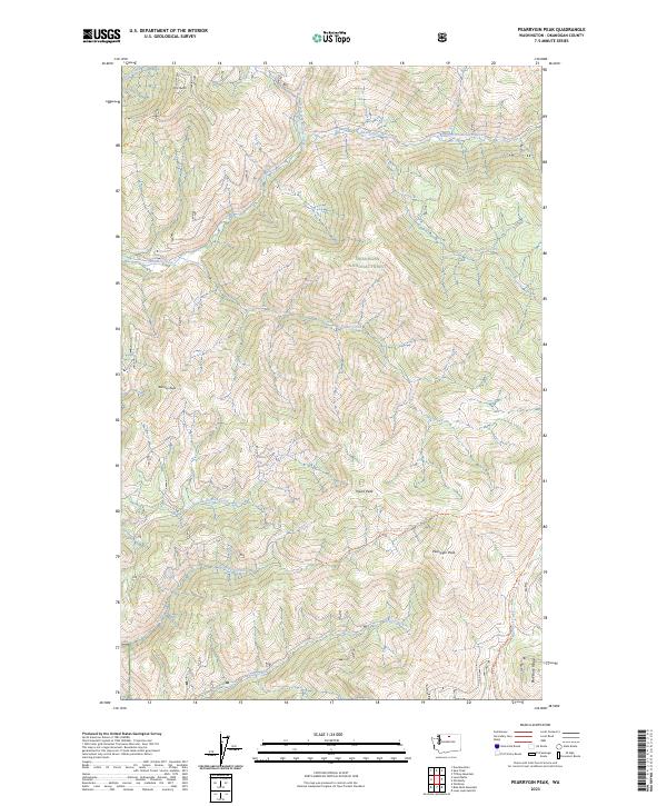
2023 Pearrygin Peak
Okanogan County, WA
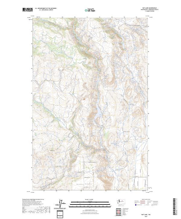
2023 Rat Lake
Okanogan County, WA
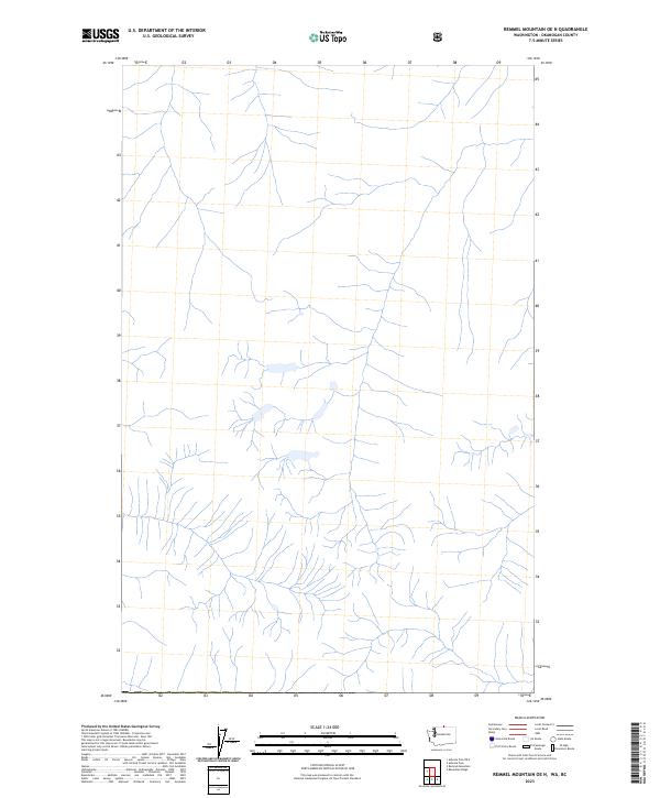
2023 Remmel Mountain OE N
Okanogan County, WA
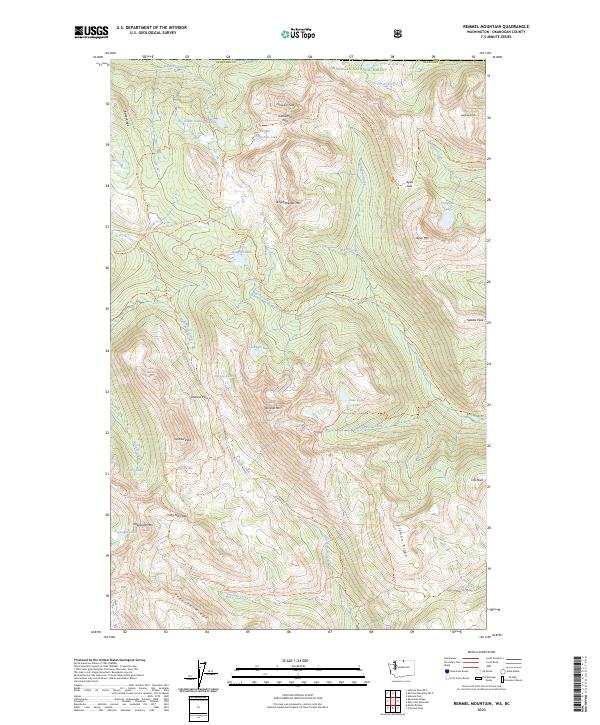
2023 Remmel Mountain
Okanogan County, WA
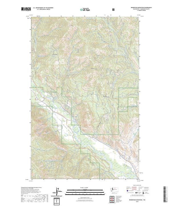
2023 Rendevous Mountain
Okanogan County, WA
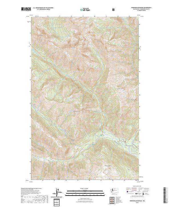
2023 Robinson Mountain
Okanogan County, WA
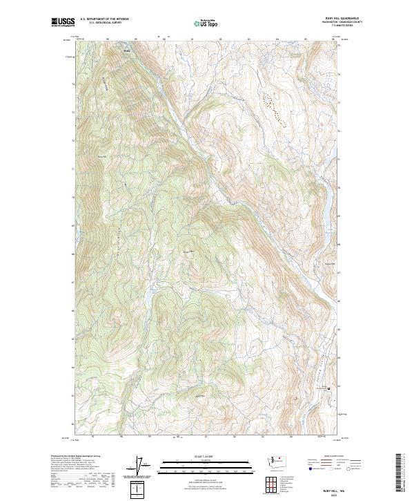
2023 Ruby Hill
Okanogan County, WA
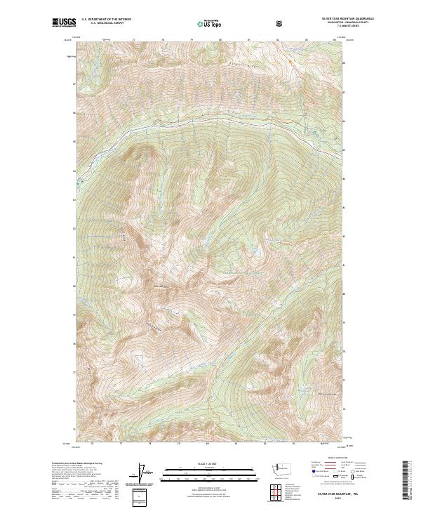
2023 Silver Star Mountain
Okanogan County, WA

2023 Slate Peak
Okanogan County, WA
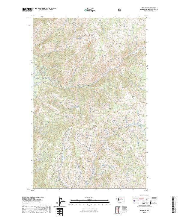
2023 Spur Peak
Okanogan County, WA
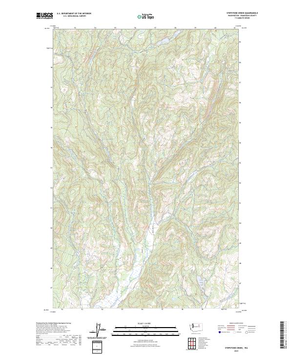
2023 Stepstone Creek
Okanogan County, WA
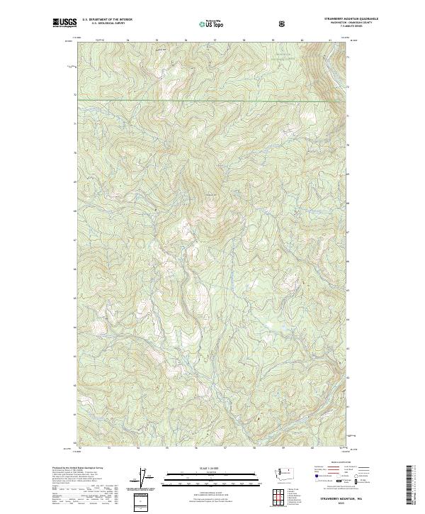
2023 Strawberry Mountain
Okanogan County, WA
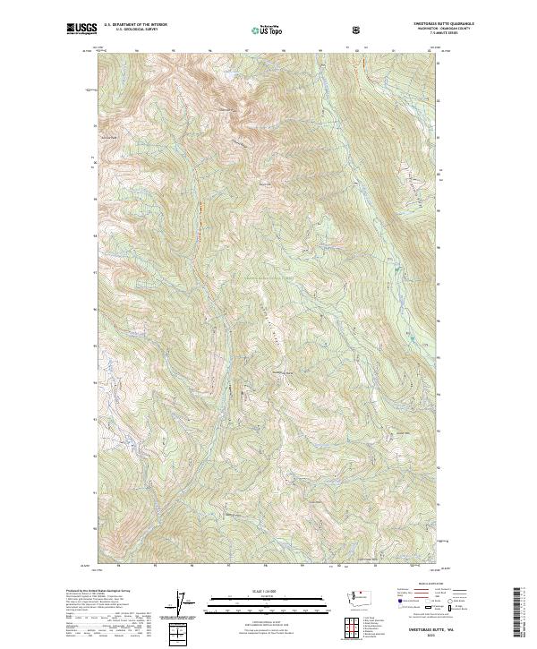
2023 Sweetgrass Butte
Okanogan County, WA
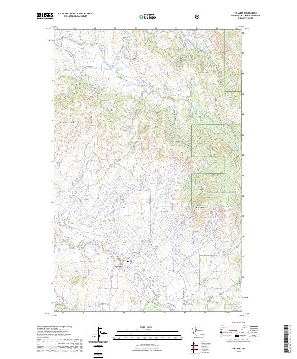
2023 Synarep
Okanogan County, WA
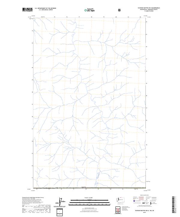
2023 Tatoosh Buttes OE N
Okanogan County, WA
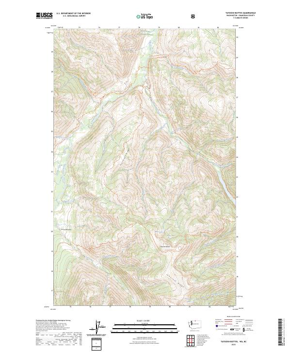
2023 Tatoosh Buttes
Okanogan County, WA
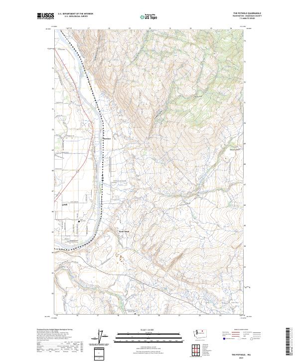
2023 The Pothole
Okanogan County, WA
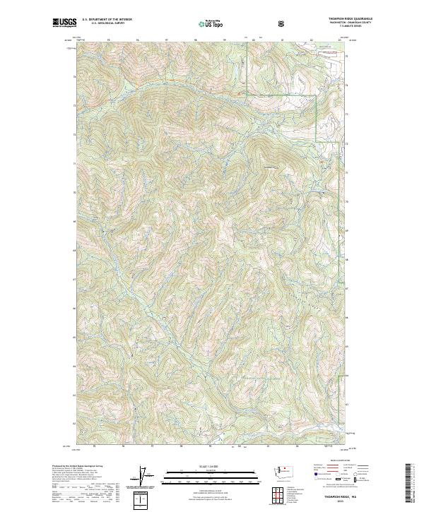
2023 Thompson Ridge
Okanogan County, WA
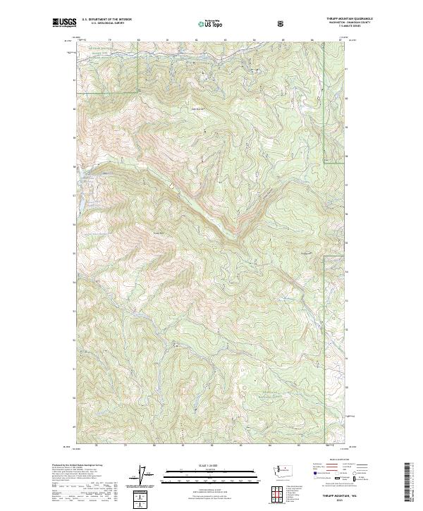
2023 Thrapp Mountain
Okanogan County, WA
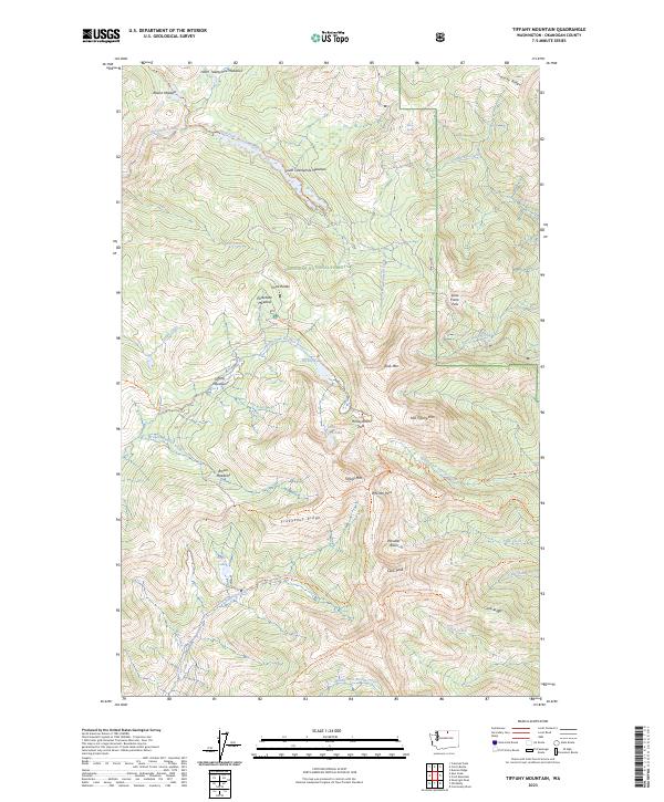
2023 Tiffany Mountain
Okanogan County, WA
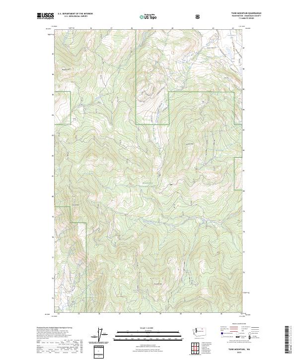
2023 Tunk Mountain
Okanogan County, WA
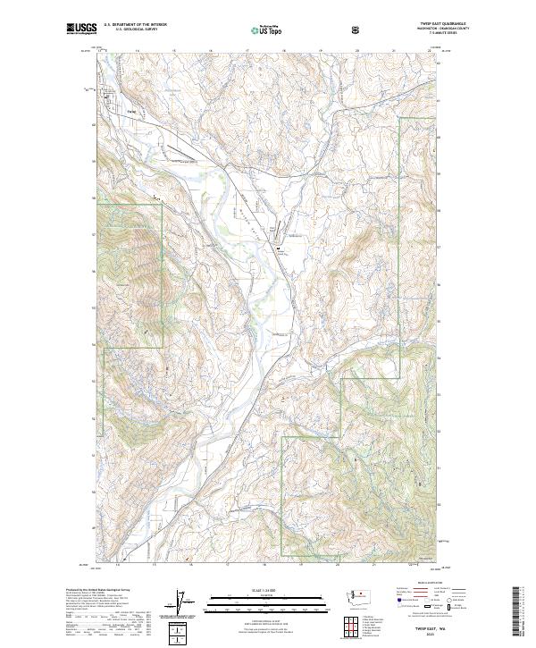
2023 Twisp East
Okanogan County, WA
2023 Twisp West
Okanogan County, WA
2023 Washington Pass
Okanogan County, WA
2023 Wauconda Summit
Okanogan County, WA
2023 White Lakes
Okanogan County, WA