
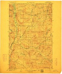
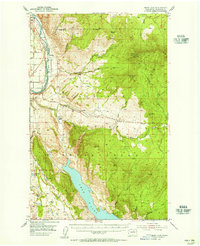
1904 Map of Osoyoos
USGS Topo · Published 1904About this map
The United States Canada Boundary Line defines the northern edge of this Okanogan County survey, where early mining operations like the Okanogan Free Gold Mine and the Poland China Mine were active at the start of the 20th century. The landscape is marked by the southward flow of the Okanogan River and the Similkameen River, which converge near Oroville. Settlement patterns here reflect both the mining boom and the early livestock industry, with family-named locations such as Best's Ranch and Huntley Ranch established in the valley floors.
Find a feature on this map
69 named features on this map. Tap any name to fly to it.
Don’t see what you’re looking for? This feature index may not catch every label — zoom into the map to look around manually.
Map Details
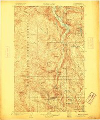
Editions of this 1904 Osoyoos Map
3 editions found
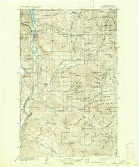
Other maps of this area

1902 · Osoyoos
USGS Topo · 1:125,000

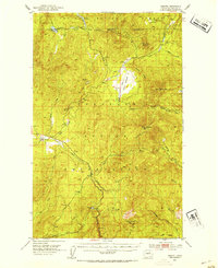
1904 · Republic
USGS Topo · 1:125,000

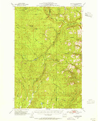
1905 · Okanogan
USGS Topo · 1:125,000
1906 · Chopaka
USGS Topo · 1:125,000
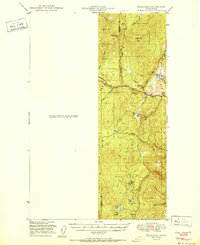
1951 · Wauconda
USGS Topo · 1:62,500

1951 · Bodie Mountain
USGS Topo · 1:62,500
1952 · Disautel
USGS Topo · 1:62,500
1953 · Bald Knob
USGS Topo · 1:62,500
1953 · Omak Lake
USGS Topo · 1:62,500

1954 · Okanogan
USGS Topo · 1:250,000