Old Maps of Oroville, Washington
Explore 14 old maps of Oroville, spanning from 1902 to today. These high-resolution historic maps reveal how streets, neighborhoods, landmarks, and natural features evolved over time — perfect for genealogy, metal detecting, research, and local history exploration.
What you can do with these maps:
- See how Oroville changed over time: Compare historical maps to modern-day views to trace roads, homesites, rail lines & more.
- View detailed metadata: Each map includes creators, publishers, year, scale, and archive source.
- Overlay maps with satellite & LiDAR: Visualize the past alongside modern tools to explore terrain & human change.
- Trusted historical sources: Maps sourced from the USGS, Library of Congress, and other archives.
- Access maps your way: View online, download high-res files, or order prints for personal or research use.
Start exploring old maps of Oroville to uncover forgotten places, hidden landmarks, and the deep history beneath your feet.
Oroville, WA maps
(14)- 1902 Map of Osoyoos
 1902 Osoyoos1902 Print · USGSOkanogan County at the dawn of the twentieth century was a landscape of high-country mines and riverfront settlements along the Canadian border. Genealogists and historians can trace early mining operations at Okanogan Free Gold Mine or locate early towns like Molson, Chesaw, and Oroville.
 - 1904 Map of Osoyoos
 1904 Osoyoos1904 Print · USGSOkanogan County near the Canadian border is shown here during a period of mining expansion and early ranching. You can trace the proximity of the Okanogan Free Gold Mine to Oroville or locate early settlements like Molson, Chesaw, and Huntley Ranch.3 unique versions available
 - 1954 Map of Okanogan, 1964 Print
 1954 Okanogan1964 Print · USGSNorth Central Washington’s interior comes into focus during the mid-fifties, showing the rise of the Columbia River reservoir system. Genealogists and historians can trace the Great Northern rail line and locate historical mining operations at the Mountain Lion Mine or Gold Hill Mine.2 unique versions available
 - 1957 Map of Oroville, 1959 Print
 1957 Oroville1959 Print · USGSThe Okanogan Valley at the close of the 1950s shows a frontier landscape defined by the convergence of the Similkameen and Okanogan rivers. Local historians can trace the Great Northern Railway route past the Lucky Knock Mine and through early settlements like Oroville and Ellisforde.3 unique versions available
 - 1958 Map of Okanogan
 1958 Okanogan1958 Print · USGSThe Okanogan River valley and the Colville Indian Reservation are shown here in the late fifties, during a period of established river and rail commerce. Researchers can trace the Great Northern line through Oroville or locate landmarks like the Knowlton School and Orient Ranger Station.
 - 1975 Map of Oroville NW, 1977 Print
 1975 Oroville NW1977 Print · USGSOroville and the Canadian borderlands are captured in the mid-1970s, revealing the junction of river valleys and high-latitude agriculture. Researchers can trace the winding course of the Okanogan River and the shoreline of Osoyoos Lake.
 - 1982 Map of Oroville
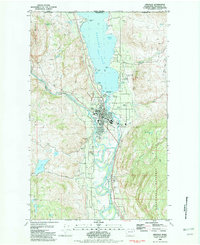 1982 Oroville1982 Print · USGSOroville sits at the gateway to the Okanogan Valley in the early 1980s, where the Similkameen and Okanogan rivers meet just south of the Canadian border. Researchers can trace the local infrastructure of the era, from the Dorothy Scott Airport and Burlington Northern line to the Riverview Cem.2 unique versions available
 - 1984 Map of Oroville
 1984 Oroville1984 Print · USGSThe Okanogan highlands at the Canadian border reveal a landscape of deep river valleys and historic mining claims in the early 1980s. Genealogists and researchers can trace old settlements like Nighthawk and Loomis or locate the American Girl Mine.
 - 2001 Map of Oroville, 2004 Print
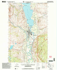 2001 Oroville2004 Print · USGSThe border town of Oroville is captured at the dawn of the millennium, showing its role as a vital crossing at the foot of Osoyoos Lake. Researchers can locate local landmarks like the Drive-in Theater, Riverview Cem, and historical mining sites such as the OK Copper Mine.
 - 2011 Map of Oroville, 2011 Print
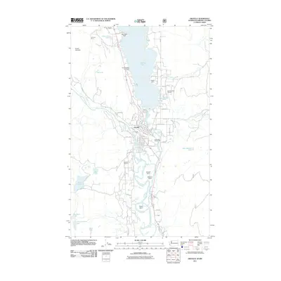 2011 Oroville2011 Print · USGSThe border country of Okanogan County comes alive in the early twenty-first century as the Similkameen River joins the Okanogan River at Oroville. Researchers can trace the legacy of local industry and infrastructure at Zosels Mill, the OK Copper Mine, and the Dorothy Scott Airport.
 - 2014 Map of Oroville, 2014 Print
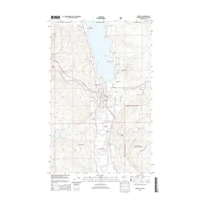 2014 Oroville2014 Print · USGSOroville and the Canadian borderlands are detailed here in the early twenty-first century, centered on the confluence of two major rivers. Researchers can trace local landmarks like Riverview Cem, Dorothy Scott Airport, and the industry around Zosels Mill Pond.
 - 2017 Map of Oroville, 2017 Print
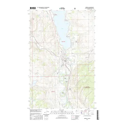 2017 Oroville2017 Print · USGSOroville sits at the strategic meeting of the Similkameen and Okanogan rivers in this 2017 study of the northern Washington borderlands. Researchers can trace local heritage at Riverview Cem or explore the river islands near Zosels Mill Pond and Driscoll Island.
 - 2020 Map of Oroville, 2020 Print
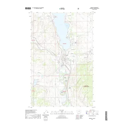 2020 Oroville2020 Print · USGSThe Okanogan Valley at the Canadian border comes into focus in this recent survey of the area surrounding Oroville. Researchers can trace local landmarks like Riverview Cem, the Dorothy Scott Airport, and paths along the Similkameen River.
 - 2023 Map of Oroville, 2023 Print
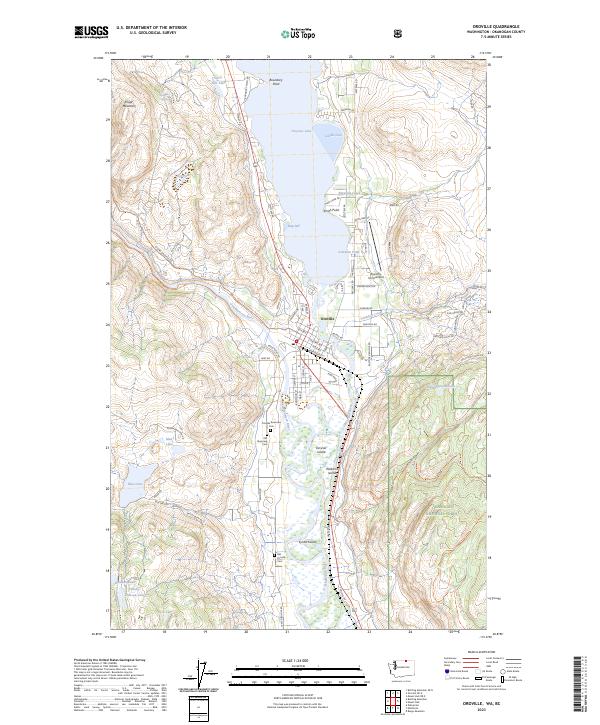 2023 Oroville2023 Print · USGSNorthern Okanogan County sits at the Canadian border in this modern survey of a vital river junction and lakeside community. Genealogists can locate family sites at the Old Riverview Cem and Old Oroville Cem, or trace the winding course of the Similkameen River past Driscoll Island.
End of results
Showing maps 1-14 of 14
Top cities near Oroville
Frequently asked questions
- What are the different types of historical maps available for Oroville?
- What is the oldest map of Oroville?
- Where can I purchase historical maps of Oroville for my home or office?
- Where can I download high-res historical maps of Oroville?
- Are there historical topographic maps available for Oroville?
- Is there historical aerial imagery available for Oroville?
- Where are historical maps of Oroville sourced from?