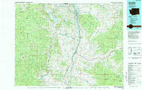
1984 Map of Oroville
USGS Topo · Published 1984About this map
Osoyoos Lake and the international border between British Columbia and Washington anchor this mid-1980s topography of the northern Okanogan highlands. The landscape is defined by the deep north-south corridors of the Okanogan River and the Similkameen River, where narrow strips of development follow the valley floors between high mountain ranges. A legacy of hard-rock mining is evident in the northern reaches near Nighthawk, where sites like the American Girl Mine and Kaaba-Texas Mine are located near the Burlington Northern railroad lines.
Find a feature on this map
72 named features on this map. Tap any name to fly to it.
Don’t see what you’re looking for? This feature index may not catch every label — zoom into the map to look around manually.
Map Details
Editions of this 1984 Oroville Map
This is the sole edition of this map. No revisions or reprints were ever made.
Other maps of this area
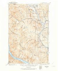
1899 · Methow
USGS Topo · 1:125,000
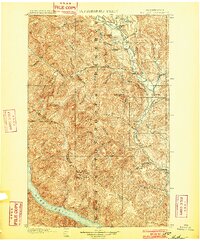
1901 · Methow
USGS Topo · 1:125,000
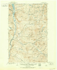
1902 · Osoyoos
USGS Topo · 1:125,000
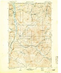
1904 · Osoyoos
USGS Topo · 1:125,000
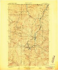
1904 · Republic
USGS Topo · 1:125,000
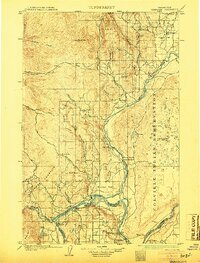
1905 · Okanogan
USGS Topo · 1:125,000
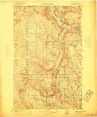
1906 · Chopaka
USGS Topo · 1:125,000
1951 · Wauconda
USGS Topo · 1:62,500
1951 · Bodie Mountain
USGS Topo · 1:62,500
1952 · Disautel
USGS Topo · 1:62,500