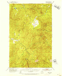
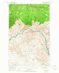
1952 Map of Disautel
USGS Topo · Published 1954About this map
Disautel sits as the primary settlement in this high-altitude landscape of central Washington, positioned where the Colville Indian Reservation meets the Chelan National Forest. The topography is defined by significant peaks such as Moses Mountain and Little Moses Mtn, while the drainage system is anchored by Omak Creek and the marshy expanses of Moses Meadows. The map reveals a land managed for both conservation and resource extraction, evidenced by the scattered Gravel Pits and the Lookout atop Armstrong Mtn. Water is a recurring theme in the high country, with Crawfish Lake in the northwest and Summit Lake to the south serving as important landmarks for local navigation and water rights in this era of the early 1950s.
Find a feature on this map
40 named features on this map. Tap any name to fly to it.
Don’t see what you’re looking for? This feature index may not catch every label — zoom into the map to look around manually.
Map Details
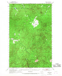
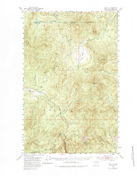
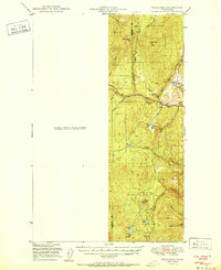
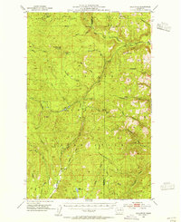
Editions of this 1952 Disautel Map
3 editions found
Other maps of this area

1902 · Osoyoos
USGS Topo · 1:125,000

1904 · Osoyoos
USGS Topo · 1:125,000

1904 · Republic
USGS Topo · 1:125,000

1950 · Nespelem
USGS Topo · 1:62,500
1950 · Boot Mtn
USGS Topo · 1:62,500
1950 · Alameda Flat
USGS Topo · 1:62,500
1951 · Wauconda
USGS Topo · 1:62,500

1952 · Alameda Flat
USGS Topo · 1:62,500
1953 · Bald Knob
USGS Topo · 1:62,500
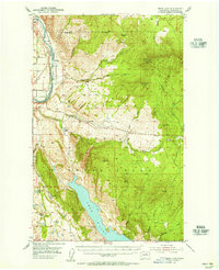
1953 · Omak Lake
USGS Topo · 1:62,500