
1950 Map of Nespelem
USGS Topo · Published 1952About this map
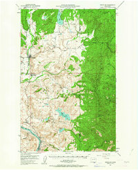
The Colville Indian Reservation landscape is defined by the descent from the high eastern peaks toward the Columbia River in this mid-century survey. The town of Nespelem and the adjacent Colville Indian Agency serve as the central hub of activity, situated where the Little Nespelem River joins the main Nespelem River. The southern boundary is marked by the river's bend near Elmer City and Koontzville, showing the area just as the regional geography was being reshaped by major hydroelectric projects. To the north and east, the terrain transitions into a mosaic of upland plateaus and glacial lakes, including Owhi Lake and Buffalo Lake. Notable for genealogists are the smaller riverside settlements like Seatons Grove and Belvedere, as well as the former location at Barry, providing a record of local habitation before later developments altered the riverfront.
Find a feature on this map
46 named features on this map. Tap any name to fly to it.
Don’t see what you’re looking for? This feature index may not catch every label — zoom into the map to look around manually.
Map Details
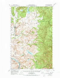
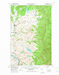
Editions of this 1950 Nespelem Map
4 editions found
Other maps of this area

1948 · Grand Coulee Dam
USGS Topo · 1:62,500

1948 · Wilbur
USGS Topo · 1:62,500

1950 · Wilbur
USGS Topo · 1:62,500

1950 · Grand Coulee Dam
USGS Topo · 1:62,500

1950 · Alameda Flat
USGS Topo · 1:62,500

1952 · Alameda Flat
USGS Topo · 1:62,500

1952 · Keller
USGS Topo · 1:62,500

1952 · Disautel
USGS Topo · 1:62,500

1953 · Seventeenmile Mtn.
USGS Topo · 1:62,500

1953 · Bald Knob
USGS Topo · 1:62,500