Loading...
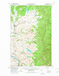
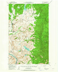
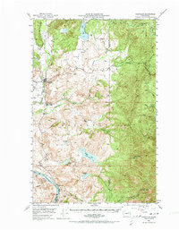
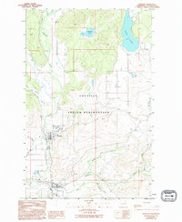
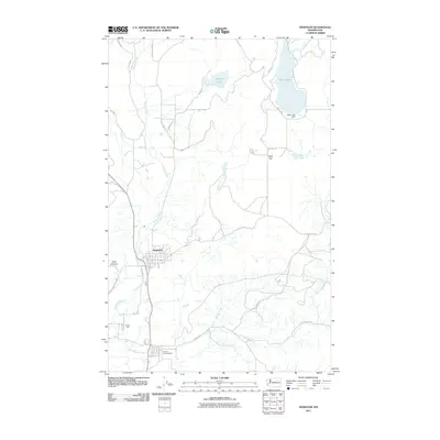
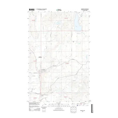
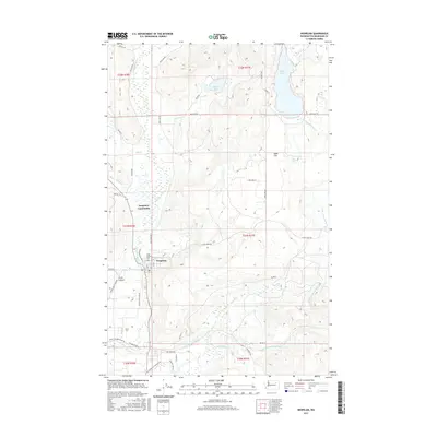
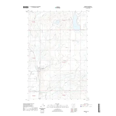
Loading map...1950 Map of Nespelem
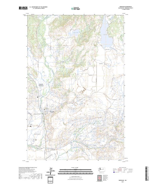
USGS Topo · Published 1980About this map
The Colville Indian Reservation dominates this mid-century landscape, centered on the administrative hub at the Colville Indian Agency and the nearby town of Nespelem. To the south, the Columbia River forms a major geographic boundary, its banks dotted with small riverside communities such as Elmer City, Koontzville, and Seatons Grove. This 1950 field-checked survey captures the area just as the region's hydro-economy was maturing, noting the former location of Barry (Site) near the river's edge.
Find a feature on this map
44 named features on this map. Tap any name to fly to it.
Don’t see what you’re looking for? This feature index may not catch every label — zoom into the map to look around manually.
Map Details
Date Portrayed1950
Date Published1980
PublisherU.S. Geological Survey
Map TypeTopographic
Scale1:62,500
Physical Dimensions17.1 x 21.9 inches
Editions of this 1950 Nespelem Map
4 editions found

Historical Maps of Elmer City Through Time
8 maps found

Featured Locations
Source Details
SourceU.S. Geological Survey
CopyrightPublic Domain