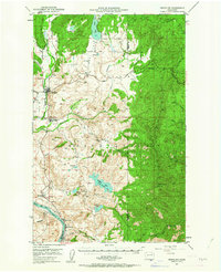
1950 Map of Nespelem
USGS Topo · Published 1963About this map
Nespelem and the surrounding Colville Indian Reservation define this mid-century landscape where the Nespelem River and Little Nespelem River converge. The topography is defined by significant elevation changes, from the heights of Keller Butte to the deep incisions of Kroll Canyon and Kaiser Canyon. The Columbia River forms the southern boundary, its banks dotted with small settlements like Seatons Grove, Koontzville, and Elmer City, reflecting the local development following the era of major hydroelectric projects on the river.
Find a feature on this map
42 named features on this map. Tap any name to fly to it.
Don’t see what you’re looking for? This feature index may not catch every label — zoom into the map to look around manually.
Map Details
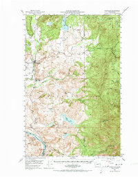
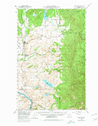
Editions of this 1950 Nespelem Map
4 editions found
Other maps of this area

1948 · Grand Coulee Dam
USGS Topo · 1:62,500

1948 · Wilbur
USGS Topo · 1:62,500

1950 · Wilbur
USGS Topo · 1:62,500

1950 · Grand Coulee Dam
USGS Topo · 1:62,500

1950 · Nespelem
USGS Topo · 1:62,500

1950 · Alameda Flat
USGS Topo · 1:62,500

1952 · Alameda Flat
USGS Topo · 1:62,500

1952 · Keller
USGS Topo · 1:62,500

1952 · Disautel
USGS Topo · 1:62,500

1953 · Seventeenmile Mtn.
USGS Topo · 1:62,500