
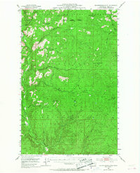
1953 Map of Seventeenmile Mtn.
USGS Topo · Published 1955About this map
The Colville Indian Reservation and Colville National Forest meet at a boundary line defined by high ridges and drainage basins in this 1950s survey. This portion of the Sanpoil valley is dominated by the Sanpoil River and its complex network of named tributaries, including Thirteenmile Creek, Seventeenmile Creek, and Thirtymile Creek. These names reflect the historical distance from early outposts, marking the geography of travel in a remote timbered landscape.
Find a feature on this map
27 named features on this map. Tap any name to fly to it.
Don’t see what you’re looking for? This feature index may not catch every label — zoom into the map to look around manually.
Map Details
Editions of this 1953 Seventeenmile Mtn. Map
2 editions found
Other maps of this area

1904 · Republic
USGS Topo · 1:125,000

1936 · Marcus
USGS Topo · 1:96,000

1942 · Marcus
USGS Topo · 1:125,000

1948 · Republic
USGS Topo · 1:62,500

1948 · Sherman Peak
USGS Topo · 1:62,500

1948 · Wilmont Creek
USGS Topo · 1:62,500

1950 · Wilmont Creek
USGS Topo · 1:62,500

1950 · Nespelem
USGS Topo · 1:62,500

1951 · Wauconda
USGS Topo · 1:62,500

1951 · Sherman Peak
USGS Topo · 1:62,500