
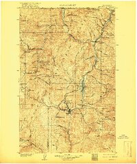
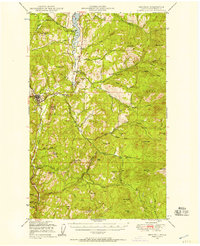
1904 Map of Republic
USGS Topo · Published 1904About this map
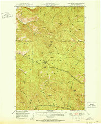
Republic serves as the industrial and social heart of this 1904 survey, established as a major gold-mining center in the Colville Indian Reservation just years before this mapping. The landscape is heavily defined by late nineteenth-century mineral extraction, with numerous workings concentrated north of the townsite including the Mountain Lion Mine, Tom Thumb Mine, and the Klondike Hill prospect. These operations were supported by a maturing infrastructure of transportation, most notably the Spokane and Northern Railway which follows the Curlew Valley Line north toward the United States - Canada Boundary Line.
Find a feature on this map
94 named features on this map. Tap any name to fly to it.
Don’t see what you’re looking for? This feature index may not catch every label — zoom into the map to look around manually.
Map Details
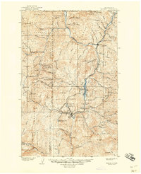
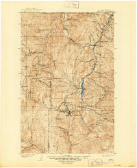
Editions of this 1904 Republic Map
4 editions found
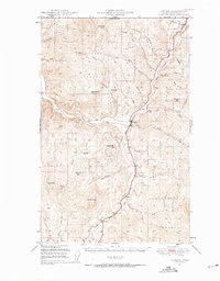
Other maps of this area

1902 · Osoyoos
USGS Topo · 1:125,000

1904 · Osoyoos
USGS Topo · 1:125,000

1936 · Marcus
USGS Topo · 1:96,000

1942 · Marcus
USGS Topo · 1:125,000
1948 · Curlew
USGS Topo · 1:62,500
1948 · Republic
USGS Topo · 1:62,500
1948 · Sherman Peak
USGS Topo · 1:62,500
1948 · Togo Mountain
USGS Topo · 1:62,500
1951 · Wauconda
USGS Topo · 1:62,500
1951 · Togo Mountain
USGS Topo · 1:62,500