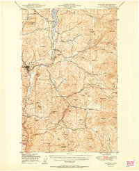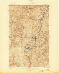
1904 Map of Republic
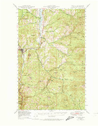
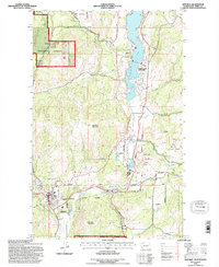
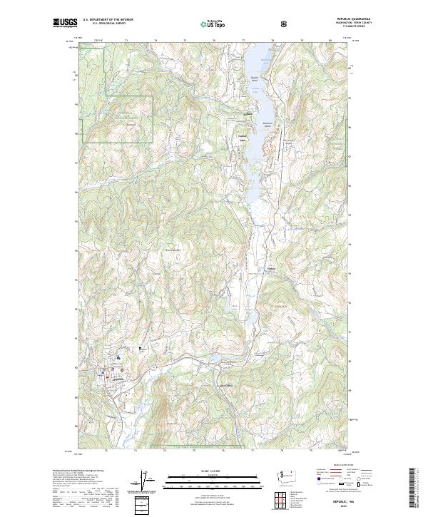
USGS Topo · Published 1944About this map
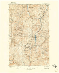
Republic stands as the primary hub of this northern frontier, shaped by a dense concentration of mining operations and the arrival of the Great Northern Ry. Settled after the northern half of the Colville Indian Reservation was opened to prospecting, the landscape is defined by its deep vertical relief and the proliferation of named claims and camps. The map traces the industrial footprint of the era through labels like the Mountain Lion Mine, Tom Thumb Mine, and the Belcher Mine, reflecting the rapid development of the Eureka mining district.
Find a feature on this map
88 named features on this map. Tap any name to fly to it.
Don’t see what you’re looking for? This feature index may not catch every label — zoom into the map to look around manually.
Map Details
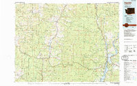
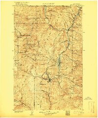
Editions of this 1904 Republic Map
4 editions found

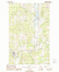
Historical Maps of Republic Through Time
7 maps found