Loading...
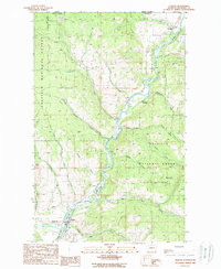
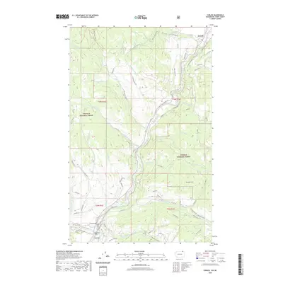
Loading map...1948 Map of Curlew
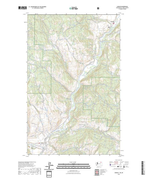
USGS Topo · Published 1948About this map
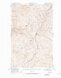
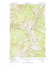
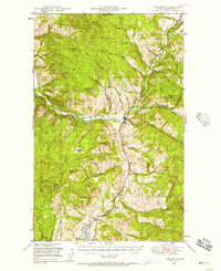
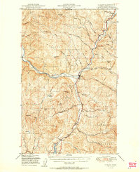
The Kettle River valley serves as the central artery of this 1940s landscape, where the Great Northern railroad parallels the water to connect the border settlement of Danville with the rail stop at Curlew. This area of the Colville National Forest shows a high-country economy focused on transit and resource management, evidenced by the network of drainage creeks such as Goosmus Creek and Tonasket Creek that feed the river system.
Find a feature on this map
49 named features on this map. Tap any name to fly to it.
Don’t see what you’re looking for? This feature index may not catch every label — zoom into the map to look around manually.
Map Details
Date Portrayed1948
Date Published1948
PublisherU.S. Geological Survey
Map TypeTopographic
Scale1:62,500
Physical Dimensions17.1 x 21.9 inches
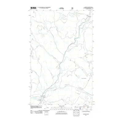
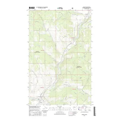
Editions of this 1948 Curlew Map
3 editions found
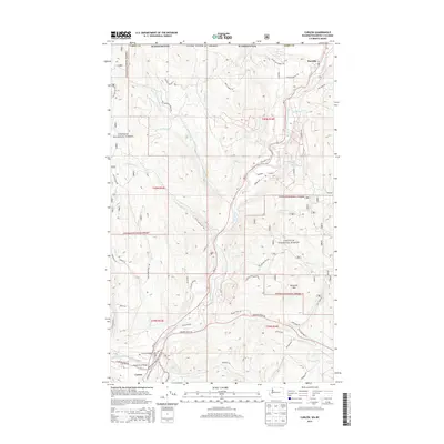
Historical Maps of Curlew Through Time
9 maps found

Featured Locations
Source Details
SourceU.S. Geological Survey
CopyrightPublic Domain