
1948 Map of Wilbur
USGS Topo · Published 1964About this map
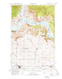
Wilbur and Creston serve as the primary hubs along the Northern Pacific railroad in this mid-century survey of Lincoln County. The landscape is defined by the massive expanse of Franklin D Roosevelt Lake, which separates the high plateau from the Colville Indian Reservation to the north. This reservoir, part of the Coulee Dam National Recreational Area, occupies the former canyons of the Columbia River and Sanpoil River.
Find a feature on this map
29 named features on this map. Tap any name to fly to it.
Don’t see what you’re looking for? This feature index may not catch every label — zoom into the map to look around manually.
Map Details
Editions of this 1948 Wilbur Map
2 editions found
Other maps of this area

1948 · Grand Coulee Dam
USGS Topo · 1:62,500

1948 · Wilmont Creek
USGS Topo · 1:62,500

1948 · Lincoln
USGS Topo · 1:62,500

1950 · Lincoln
USGS Topo · 1:62,500

1950 · Wilmont Creek
USGS Topo · 1:62,500

1950 · Wilbur
USGS Topo · 1:62,500

1950 · Grand Coulee Dam
USGS Topo · 1:62,500

1950 · Nespelem
USGS Topo · 1:62,500

1952 · Keller
USGS Topo · 1:62,500

1953 · Ritzville
USGS Topo · 1:250,000