
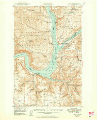
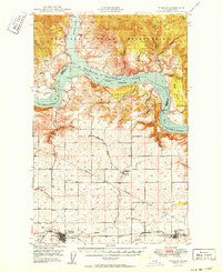
1950 Map of Lincoln
USGS Topo · Published 1950About this map
The Franklin D Roosevelt Lake backwater dominates this mid-century landscape, marking the intersection of the Colville Indian Reservation and the Spokane Indian Reservation. This map, based on 1946 photography and 1948 field checks, shows the early years of the Franklin D Roosevelt Lake National Recreational Area after the completion of the Grand Coulee Dam. The topography reveals a dramatic canyon environment where the Spokane River joins the Columbia River near the landmark Fort Spokane.
Find a feature on this map
54 named features on this map. Tap any name to fly to it.
Don’t see what you’re looking for? This feature index may not catch every label — zoom into the map to look around manually.
Map Details
Editions of this 1950 Lincoln Map
2 editions found
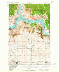
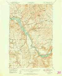
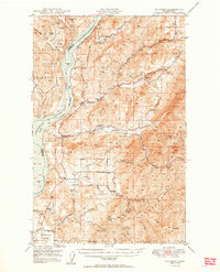
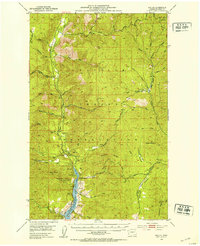
Other maps of this area

1948 · Hunters
USGS Topo · 1:62,500
1948 · Wilbur
USGS Topo · 1:62,500

1948 · Wilmont Creek
USGS Topo · 1:62,500
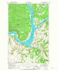
1948 · Lincoln
USGS Topo · 1:62,500

1948 · Turtle Lake
USGS Topo · 1:62,500
1950 · Turtle Lake
USGS Topo · 1:62,500

1950 · Wilmont Creek
USGS Topo · 1:62,500
1950 · Wilbur
USGS Topo · 1:62,500
1950 · Hunters
USGS Topo · 1:62,500
1952 · Keller
USGS Topo · 1:62,500