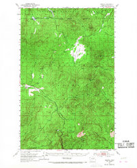
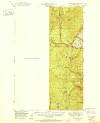
1952 Map of Disautel
USGS Topo · Published 1968About this map
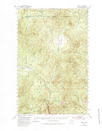
Disautel stands as the primary hub of activity in this mid-century survey of Okanogan County, situated at a junction where the high ridges of the Okanogan Highlands meet the southern reaches of the Chelan National Forest. The landscape is defined by the expansive Colville Indian Reservation, showcasing a complex network of timbered peaks and upland meadows. Notable landmarks like Moses Mountain and Little Moses Mtn tower over the drainage basins of Omak Creek and Kartar Creek. This 1950s data, based on 1946 aerial photography, documents the area's geography before significant modern development, preserving the locations of high-altitude water sources like Crawfish Lake and the marshy expanses of Moses Meadows. The map reveals a land utilized for both its natural resources and its remote grazing grounds, evidenced by scattered features like the Gravel Pit and several named meadows including Cox Meadow and Darnell Meadow.
Find a feature on this map
30 named features on this map. Tap any name to fly to it.
Don’t see what you’re looking for? This feature index may not catch every label — zoom into the map to look around manually.
Map Details
Editions of this 1952 Disautel Map
3 editions found
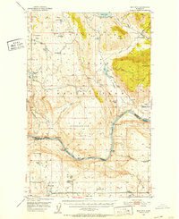
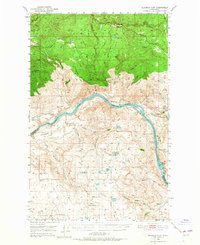
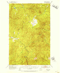
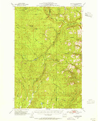
Other maps of this area

1902 · Osoyoos
USGS Topo · 1:125,000

1904 · Osoyoos
USGS Topo · 1:125,000

1904 · Republic
USGS Topo · 1:125,000

1950 · Nespelem
USGS Topo · 1:62,500
1950 · Boot Mtn
USGS Topo · 1:62,500
1950 · Alameda Flat
USGS Topo · 1:62,500
1951 · Wauconda
USGS Topo · 1:62,500

1952 · Alameda Flat
USGS Topo · 1:62,500
1952 · Disautel
USGS Topo · 1:62,500
1953 · Bald Knob
USGS Topo · 1:62,500