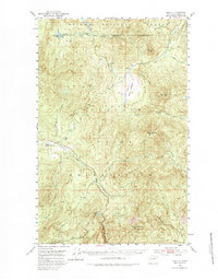
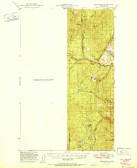
1952 Map of Disautel
USGS Topo · Published 1983About this map
Disautel stands as a focal point in this 1952 topographic study, situated along the winding route of Omak Creek within the Colville Indian Reservation Boundary. The landscape is defined by the high elevations of the Okanogan highlands, featuring prominent peaks such as Moses Mountain and Armstrong Mtn. This era of the mid-twentieth century reflects a transition in land use, where the Omak Trail cuts through the high country once designated as part of the Chelan National Forest. The map documents a network of mountain drainage systems, from the marshy Moses Meadows to the high waters of Crawfish Lake and Summit Lake. For the local historian, the inclusion of several Gravel Pits and named creek systems like Stepstone Creek and Whitelaw Creek provides a record of the early infrastructure and hydraulic geography of this tribal and forest land.
Find a feature on this map
34 named features on this map. Tap any name to fly to it.
Don’t see what you’re looking for? This feature index may not catch every label — zoom into the map to look around manually.
Map Details
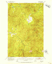
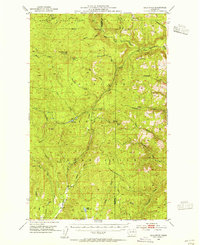
Editions of this 1952 Disautel Map
3 editions found
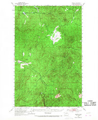
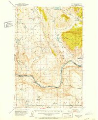
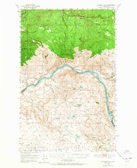
Other maps of this area

1902 · Osoyoos
USGS Topo · 1:125,000

1904 · Osoyoos
USGS Topo · 1:125,000

1904 · Republic
USGS Topo · 1:125,000

1950 · Nespelem
USGS Topo · 1:62,500
1950 · Boot Mtn
USGS Topo · 1:62,500
1950 · Alameda Flat
USGS Topo · 1:62,500
1951 · Wauconda
USGS Topo · 1:62,500

1952 · Alameda Flat
USGS Topo · 1:62,500
1952 · Disautel
USGS Topo · 1:62,500
1953 · Bald Knob
USGS Topo · 1:62,500