
1905 Map of Okanogan
USGS Topo · Published 1905About this map
The Columbia River and Okanogan River dominate this 1903 survey, meeting at a critical junction near the settlement of Bruster. Before the era of modern bridges, river transit relied on a network of cable crossings, including Andrews Ferry, Bruster Ferry, and Bridgeport Ferry. The landscape is a mix of high plateaus and alluvial flats, such as Bruster Flat, Tarheel Flat, and Pogue Flat. To the east, the vast expanse of the Colville Indian Reservation is depicted, dotted with numerous small lakes like Salt Lake.
Find a feature on this map
47 named features on this map. Tap any name to fly to it.
Don’t see what you’re looking for? This feature index may not catch every label — zoom into the map to look around manually.
Map Details
Editions of this 1905 Okanogan Map
3 editions found
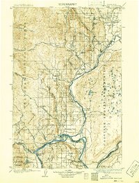
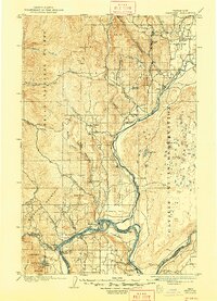
Other maps of this area

1899 · Methow
USGS Topo · 1:125,000

1901 · Chelan
USGS Topo · 1:125,000

1901 · Methow
USGS Topo · 1:125,000

1902 · Osoyoos
USGS Topo · 1:125,000

1904 · Osoyoos
USGS Topo · 1:125,000

1906 · Chopaka
USGS Topo · 1:125,000

1950 · Boot Mtn
USGS Topo · 1:62,500

1953 · Omak Lake
USGS Topo · 1:62,500

1953 · Ritzville
USGS Topo · 1:250,000

1954 · Okanogan
USGS Topo · 1:250,000