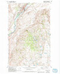
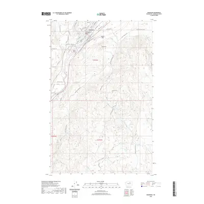
1905 Map of Okanogan
USGS Topo · Published 1911About this map
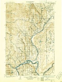
The Okanogan River and Columbia River converge in this 1903 survey, defining a landscape of high plateaus and river-bottom settlements before the era of modern damming. The map captures a critical period of early development where transit depended heavily on water crossings, evidenced by the series of river connections including Andrews Ferry, Brewster Ferry, and Bridgeport Ferry. To the east, the Colville Indian Reservation contains numerous small water bodies like Salt Lake, while the western heights are dominated by the Okanogan National Forest. Small ranching and mining hubs such as Ruby, Olema, and Ophir appear alongside the larger flats of Pogue Flat and Brewster Flat, illustrating how early settlers adapted to the distinct benches and canyons of north-central Washington.
Find a feature on this map
44 named features on this map. Tap any name to fly to it.
Don’t see what you’re looking for? This feature index may not catch every label — zoom into the map to look around manually.
Map Details
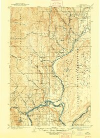
Editions of this 1905 Okanogan Map
3 editions found

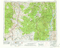
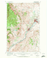
Historical Maps of Omak Through Time
10 maps found
1905 Okanogan
Okanogan County, WA
1954 Okanogan
Okanogan County, WA
1957 Okanogan
Okanogan County, WA

1958 Okanogan
Okanogan County, WA
1980 Okanogan
Okanogan County, WA
2011 Okanogan
Okanogan County, WA
2014 Okanogan
Okanogan County, WA
2017 Okanogan
Okanogan County, WA
2020 Okanogan
Okanogan County, WA
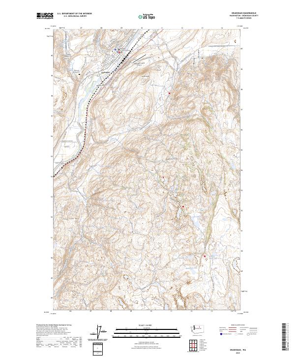
2023 Okanogan
Okanogan County, WA