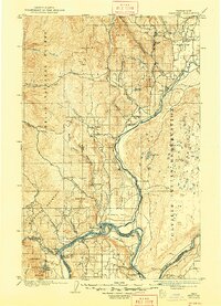
1905 Map of Okanogan
USGS Topo · Published 1948About this map
The confluence of the Columbia River and the Okanogan River anchors this 1903 survey, revealing a landscape defined by river-based transit before the era of modern bridges. Three major river crossings — Brewster Ferry, Central Ferry, and Bridgeport Ferry — provide essential links between the rugged uplands and the river flats. The mapping details early settlements like Ruby, Olema, and Knowlton, often situated near vital water sources such as Salmon Creek or the extensive Spring Coulee. High points like Ruby Hill and Buckhorn Mountain overlook broad agricultural stretches including Pogue Flat and Brewster Flat. The eastern portion of the map is dominated by the Colville Indian Reservation, characterized by a dense concentration of small water bodies like Soap Lake and numerous unnamed ponds, contrasting with the more linear drainage patterns found within the Chelan National Forest to the west.
Find a feature on this map
52 named features on this map. Tap any name to fly to it.
Don’t see what you’re looking for? This feature index may not catch every label — zoom into the map to look around manually.
Map Details
Editions of this 1905 Okanogan Map
3 editions found
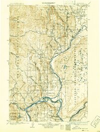
Other maps of this area

1899 · Methow
USGS Topo · 1:125,000

1901 · Chelan
USGS Topo · 1:125,000

1901 · Methow
USGS Topo · 1:125,000

1902 · Osoyoos
USGS Topo · 1:125,000

1904 · Osoyoos
USGS Topo · 1:125,000

1905 · Okanogan
USGS Topo · 1:125,000

1906 · Chopaka
USGS Topo · 1:125,000

1950 · Boot Mtn
USGS Topo · 1:62,500

1953 · Omak Lake
USGS Topo · 1:62,500

1953 · Ritzville
USGS Topo · 1:250,000