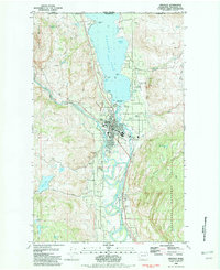
1982 Map of Oroville
USGS Topo · Published 1982About this map
Oroville serves as the focal point of this northern Washington survey, situated at the confluence of the Similkameen River and the Okanogan River. The landscape is dominated by the international waters of Osoyoos Lake, which stretches north across the Canada United States border. A distinct network of infrastructure supports the town, including the Burlington Northern railroad, the Dorothy Scott Airport, and critical water management features like the Pumping Station and multiple Gaging Stations.
Find a feature on this map
45 named features on this map. Tap any name to fly to it.
Don’t see what you’re looking for? This feature index may not catch every label — zoom into the map to look around manually.
Map Details
Editions of this 1982 Oroville Map
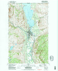
2 editions found
Other maps of this area

1902 · Osoyoos
USGS Topo · 1:125,000

1904 · Osoyoos
USGS Topo · 1:125,000

1906 · Chopaka
USGS Topo · 1:125,000

1954 · Okanogan
USGS Topo · 1:250,000

1956 · Loomis
USGS Topo · 1:62,500

1957 · Oroville
USGS Topo · 1:62,500

1958 · Okanogan
USGS Topo · 1:250,000

1975 · Oroville NW
USGS Topo · 1:24,000
1981 · Burge Mtn
USGS Topo · 1:24,000

1981 · Mount Hull
USGS Topo · 1:24,000