
1957 Map of Oroville
USGS Topo · Published 1959About this map
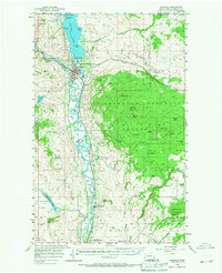
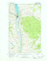
Oroville serves as the gateway to the Okanogan Valley, situated just south of the United States Canada border at the foot of Osoyoos Lake. In the late 1950s, the local economy was defined by the confluence of the Similkameen River and the Okanogan River, which frame the town and create distinctive landmarks like Driscoll Island. The Great Northern Railway corridor is a prominent feature, tracing the river valley through Cordell and Ellisforde. To the east, the landscape rises sharply into the Okanogan National Forest, where high-elevation features such as Mt Hull, Summit Lake, and Haley Mtn overlook the valley floor. Notable resource extraction and land use are evident in the presence of the Lucky Knock Mine and various Gravel Pit locations, while the Old Railroad Grade and numerous Jeep Trails suggest the region's historical transport routes through Antoine Valley and across Whitestone Flats.
Find a feature on this map
66 named features on this map. Tap any name to fly to it.
Don’t see what you’re looking for? This feature index may not catch every label — zoom into the map to look around manually.
Map Details
Editions of this 1957 Oroville Map
3 editions found
Other maps of this area

1902 · Osoyoos
USGS Topo · 1:125,000

1904 · Osoyoos
USGS Topo · 1:125,000

1906 · Chopaka
USGS Topo · 1:125,000

1954 · Okanogan
USGS Topo · 1:250,000

1956 · Loomis
USGS Topo · 1:62,500

1957 · Conconully
USGS Topo · 1:62,500

1957 · Mt. Bonaparte
USGS Topo · 1:62,500

1957 · Tonasket
USGS Topo · 1:62,500

1957 · Aeneas Valley
USGS Topo · 1:62,500

1958 · Okanogan
USGS Topo · 1:250,000