
1956 Map of Loomis
USGS Topo · Published 1959About this map
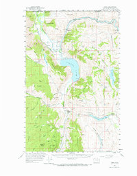
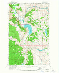
Loomis and Nighthawk serve as the primary hubs in this mid-century survey of the rugged Okanogan highlands. The landscape is defined by the high peaks of Chopaka Mountain and Ellemeham Mtn, flanking the deep basins of Palmer Lake and Spectacle Lake. This era shows a high density of mineral exploration, with numerous hard-rock sites such as the Golden Zone Mine, Ruby Mine, and Black Bear Mine dotting the drainages. The Similkameen River enters from Canada to the north, tracked by the Great Northern railroad which follows the water past Shankers Bend. Local infrastructure is highlighted by specialized features like the Palmer Mtn Tunnel and the Similkameen Dam, supporting an economy deeply tied to water management and the Sinlahekin Game Range. Extensive Jeep Trails and the Washburn Lake Road provide the only access into the high timber and canyon country.
Find a feature on this map
85 named features on this map. Tap any name to fly to it.
Don’t see what you’re looking for? This feature index may not catch every label — zoom into the map to look around manually.
Map Details
Editions of this 1956 Loomis Map
3 editions found
Other maps of this area

1902 · Osoyoos
USGS Topo · 1:125,000

1904 · Osoyoos
USGS Topo · 1:125,000

1906 · Chopaka
USGS Topo · 1:125,000

1954 · Okanogan
USGS Topo · 1:250,000

1956 · Tiffany Mountain
USGS Topo · 1:62,500

1956 · Horseshoe Basin
USGS Topo · 1:62,500

1957 · Conconully
USGS Topo · 1:62,500

1957 · Tonasket
USGS Topo · 1:62,500

1957 · Oroville
USGS Topo · 1:62,500

1958 · Okanogan
USGS Topo · 1:250,000