
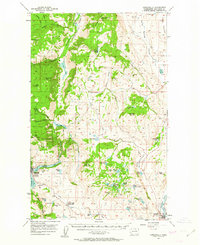
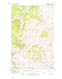
1957 Map of Conconully
USGS Topo · Published 1958About this map
Conconully sits at the heart of this mid-century Okanogan County landscape, serving as a gateway to the high country of the Okanogan National Forest. The map documents a transition from the structured valley settlements like Riverside along the Okanogan River to the high peaks and plateaus of the Cascades. Notable local landmarks include the Beeman School and the Silver Mts Mine, reflecting the dual legacy of rural education and mountain extraction.
Find a feature on this map
64 named features on this map. Tap any name to fly to it.
Don’t see what you’re looking for? This feature index may not catch every label — zoom into the map to look around manually.
Map Details
Editions of this 1957 Conconully Map
3 editions found
Other maps of this area

1902 · Osoyoos
USGS Topo · 1:125,000

1904 · Osoyoos
USGS Topo · 1:125,000

1905 · Okanogan
USGS Topo · 1:125,000

1906 · Chopaka
USGS Topo · 1:125,000

1953 · Omak Lake
USGS Topo · 1:62,500

1954 · Okanogan
USGS Topo · 1:250,000

1956 · Loup Loup
USGS Topo · 1:62,500

1956 · Loomis
USGS Topo · 1:62,500

1956 · Tiffany Mountain
USGS Topo · 1:62,500

1956 · Horseshoe Basin
USGS Topo · 1:62,500