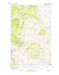
1957 Map of Conconully
USGS Topo · Published 1977About this map
Conconully serves as the focal point of this mid-century Okanogan County landscape, positioned at the confluence of Salmon Creek and the Conconully Reservoir. The town's historical connection to the mining and ranching economy of the late 1800s is evidenced by the presence of the Silver Mtn Mine and landmarks like Graveyard Flat. The region's social and educational infrastructure is anchored by the Beeman School and the Scotch Creek Grange Hall, while the surrounding terrain is dominated by the peaks of the Douglas Mountain Range and Lemanasky Mtn.
Find a feature on this map
68 named features on this map. Tap any name to fly to it.
Don’t see what you’re looking for? This feature index may not catch every label — zoom into the map to look around manually.
Map Details
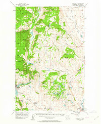
Editions of this 1957 Conconully Map
3 editions found

Other maps of this area

1902 · Osoyoos
USGS Topo · 1:125,000

1904 · Osoyoos
USGS Topo · 1:125,000

1905 · Okanogan
USGS Topo · 1:125,000

1906 · Chopaka
USGS Topo · 1:125,000

1953 · Omak Lake
USGS Topo · 1:62,500

1954 · Okanogan
USGS Topo · 1:250,000

1956 · Loup Loup
USGS Topo · 1:62,500

1956 · Loomis
USGS Topo · 1:62,500

1956 · Tiffany Mountain
USGS Topo · 1:62,500

1956 · Horseshoe Basin
USGS Topo · 1:62,500