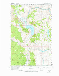
1956 Map of Loomis
USGS Topo · Published 1967About this map
The Similkameen River flows south from the international border into a landscape defined by industrial extraction and water management. This mid-century survey shows the area around Loomis and Nighthawk during a period when mining remained a visible part of the geography. Dozens of sites, including the Golden Zone Mine, Ruby Mine, and Alice Mine, are scattered across the peaks of Palmer Mountain and Bullfrog Mtn. The Great Northern railroad tracks parallel the river, connecting these remote operations to broader markets. In the valley floor, the Whitestone Ditch and Gaging Sta on Sinlahekin Creek suggest the importance of irrigation for local agriculture. Large water bodies like Palmer Lake and Spectacle Lake dominate the lowlands, while higher elevations are marked by landmarks like Beef Pasture Cabin and the Sinlahekin Game Range.
Find a feature on this map
75 named features on this map. Tap any name to fly to it.
Don’t see what you’re looking for? This feature index may not catch every label — zoom into the map to look around manually.
Map Details
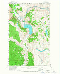
Editions of this 1956 Loomis Map
3 editions found
Other maps of this area

1902 · Osoyoos
USGS Topo · 1:125,000

1904 · Osoyoos
USGS Topo · 1:125,000

1906 · Chopaka
USGS Topo · 1:125,000

1954 · Okanogan
USGS Topo · 1:250,000

1956 · Loomis
USGS Topo · 1:62,500

1956 · Tiffany Mountain
USGS Topo · 1:62,500

1956 · Horseshoe Basin
USGS Topo · 1:62,500

1957 · Conconully
USGS Topo · 1:62,500

1957 · Tonasket
USGS Topo · 1:62,500

1957 · Oroville
USGS Topo · 1:62,500