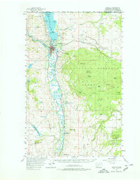
1957 Map of Oroville
USGS Topo · Published 1978About this map
The Okanogan River and Similkameen River meet south of Oroville, forming a valley landscape defined by the Great Northern Railroad and intricate water management. Irrigation and topography are central here, with flumes and siphons supporting agricultural patches like Whitestone Flats. The international border with Canada is marked at Boundary Point on the northern shore of Osoyoos Lake, where the railroad enters the United States.
Find a feature on this map
69 named features on this map. Tap any name to fly to it.
Don’t see what you’re looking for? This feature index may not catch every label — zoom into the map to look around manually.
Map Details
Editions of this 1957 Oroville Map
3 editions found
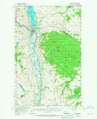
Other maps of this area

1902 · Osoyoos
USGS Topo · 1:125,000

1904 · Osoyoos
USGS Topo · 1:125,000

1906 · Chopaka
USGS Topo · 1:125,000

1954 · Okanogan
USGS Topo · 1:250,000

1956 · Loomis
USGS Topo · 1:62,500

1957 · Conconully
USGS Topo · 1:62,500

1957 · Mt. Bonaparte
USGS Topo · 1:62,500

1957 · Tonasket
USGS Topo · 1:62,500

1957 · Oroville
USGS Topo · 1:62,500

1957 · Aeneas Valley
USGS Topo · 1:62,500