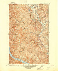
1901 Map of Methow
USGS Topo · Published 1947About this map
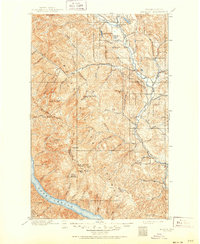
The Methow River corridor serves as the primary artery for settlement and movement through this high-mountain landscape at the close of the 19th century. Early river towns including Winthrop, Twisp, Carlton, and Methow are established along the valley floor, connected by primitive routes while the surrounding heights remain the domain of the Chelan National Forest. The geography is defined by a dense network of drainages such as Wolf Creek, Twisp River, and Libby Creek that feed into the main river system from the massive Sawtooth Ridge. High-altitude lookouts, including Buttermilk Butte Lookout Sta and Milton Mt Lookout Sta, underscore the region's early fire management and surveying history. To the southwest, the northern tip of Lake Chelan enters the frame, hemmed in by steep peaks like North Navarre Peak and South Navarre Peak.
Find a feature on this map
64 named features on this map. Tap any name to fly to it.
Don’t see what you’re looking for? This feature index may not catch every label — zoom into the map to look around manually.
Map Details
Editions of this 1901 Methow Map
6 editions found
Other maps of this area

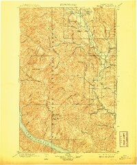
1899 · Methow
USGS Topo · 1:125,000

1901 · Chelan
USGS Topo · 1:125,000

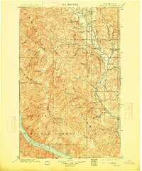
1901 · Methow
USGS Topo · 1:125,000

1901 · Chiwaukum
USGS Topo · 1:125,000

1902 · Stehekin
USGS Topo · 1:125,000

1904 · Stehekin
USGS Topo · 1:125,000

1904 · Chiwaukum
USGS Topo · 1:125,000

1905 · Okanogan
USGS Topo · 1:125,000

1906 · Chopaka
USGS Topo · 1:125,000

1920 · Slate Pass
USGS Topo · 1:125,000