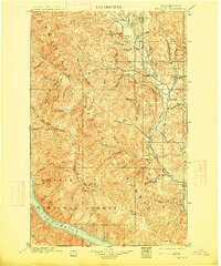
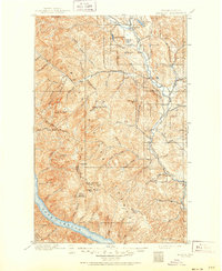
1901 Map of Methow
USGS Topo · Published 1915About this map
Winthrop and Twisp anchor the northern reaches of this turn-of-the-century landscape, where the Methow River carves a deep valley between the high peaks of the Okanogan National Forest. This survey captures a moment when travel through the high country relied on routes like the War Creek Trail, connecting remote settlements and mining camps to the river corridor. The geography is defined by sharp elevation changes, from the shores of Lake Chelan in the southwest up to the formidable Sawtooth Ridge.
Find a feature on this map
52 named features on this map. Tap any name to fly to it.
Don’t see what you’re looking for? This feature index may not catch every label — zoom into the map to look around manually.
Map Details
Editions of this 1901 Methow Map
6 editions found
Other maps of this area

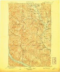
1899 · Methow
USGS Topo · 1:125,000

1901 · Chelan
USGS Topo · 1:125,000

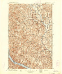
1901 · Methow
USGS Topo · 1:125,000

1901 · Chiwaukum
USGS Topo · 1:125,000

1902 · Stehekin
USGS Topo · 1:125,000

1904 · Stehekin
USGS Topo · 1:125,000

1904 · Chiwaukum
USGS Topo · 1:125,000

1905 · Okanogan
USGS Topo · 1:125,000

1906 · Chopaka
USGS Topo · 1:125,000

1920 · Slate Pass
USGS Topo · 1:125,000