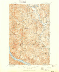
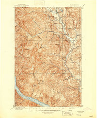
1901 Map of Methow
USGS Topo · Published 1951About this map
The Methow River corridor serves as the primary artery of settlement in this northern Washington survey, conducted at the end of the nineteenth century by W.T. Griswold and R.A. Farmer. The river valley connects several early communities including Winthrop, Twisp, and Carlton, while the surrounding terrain of the Chelan National Forest is defined by high peaks and ridges. The map reveals a complex network of canyons and creeks, such as Pipestone Canyon and Wolf Creek, feeding into the main valley floor. High-altitude landmarks like Sawtooth Ridge, Oval Peak, and Star Peak dominate the western horizon, overlooking the northern reach of Lake Chelan. This era shows the landscape before modern development, where isolated lookouts like Nelson Butte and Milton Mt. served as critical vantage points for forest management across the Okanogan and Chelan Co. boundary line.
Find a feature on this map
83 named features on this map. Tap any name to fly to it.
Don’t see what you’re looking for? This feature index may not catch every label — zoom into the map to look around manually.
Map Details
Editions of this 1901 Methow Map
6 editions found
Other maps of this area

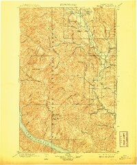
1899 · Methow
USGS Topo · 1:125,000

1901 · Chelan
USGS Topo · 1:125,000

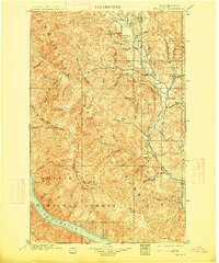
1901 · Methow
USGS Topo · 1:125,000

1901 · Chiwaukum
USGS Topo · 1:125,000

1902 · Stehekin
USGS Topo · 1:125,000

1904 · Stehekin
USGS Topo · 1:125,000

1904 · Chiwaukum
USGS Topo · 1:125,000

1905 · Okanogan
USGS Topo · 1:125,000

1906 · Chopaka
USGS Topo · 1:125,000

1920 · Slate Pass
USGS Topo · 1:125,000