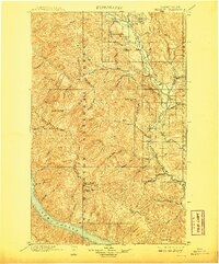
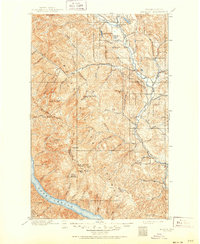
1901 Map of Methow
USGS Topo · Published 1908About this map
The Methow River corridor at the dawn of the twentieth century reveals a remote landscape of early homesteading and mountain trails. Surveyed in the late 1890s, this area centers on the junction of the Twisp River and the Methow, where the nascent settlements of Winthrop, Twisp, and Silver served as supply points for prospectors and ranchers. The map traces the divide between Okanogan and Chelan Counties, following the high peaks of the Sawtooth Ridge and Oval Peak.
Find a feature on this map
62 named features on this map. Tap any name to fly to it.
Don’t see what you’re looking for? This feature index may not catch every label — zoom into the map to look around manually.
Map Details
Editions of this 1901 Methow Map
6 editions found
Other maps of this area

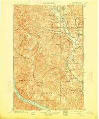
1899 · Methow
USGS Topo · 1:125,000

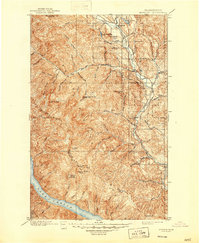
1901 · Chelan
USGS Topo · 1:125,000

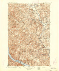
1901 · Methow
USGS Topo · 1:125,000

1901 · Chiwaukum
USGS Topo · 1:125,000

1902 · Stehekin
USGS Topo · 1:125,000

1904 · Stehekin
USGS Topo · 1:125,000

1904 · Chiwaukum
USGS Topo · 1:125,000

1905 · Okanogan
USGS Topo · 1:125,000

1906 · Chopaka
USGS Topo · 1:125,000

1920 · Slate Pass
USGS Topo · 1:125,000