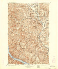
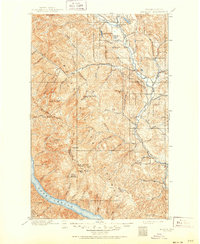
1901 Map of Methow
USGS Topo · Published 1934About this map
The Methow River corridor serves as the primary artery for settlement in this high-altitude landscape surveyed just before the turn of the century. Small valley communities like Winthrop, Twisp, Carlton, and Methow are established along the riverbanks, anchored by the surrounding network of peaks and drainage basins. The map illustrates a region defined by verticality, where prominent landmarks such as Milton Mt Lookout Sta and Nelson Butte Lookout Sta dominate the horizon. To the west, the steep descent toward the northern reach of Lake Chelan highlights the isolation of these mountain drainage systems. High-country water bodies including Pearrygin Lake, Patterson Lake, and Cooney Lake dot the terrain, while the formidable Sawtooth Ridge forms a natural barrier. The concentration of lookout stations throughout the quadrangle suggests an early focus on high-ground surveillance for this timber-heavy wilderness.
Find a feature on this map
52 named features on this map. Tap any name to fly to it.
Don’t see what you’re looking for? This feature index may not catch every label — zoom into the map to look around manually.
Map Details
Editions of this 1901 Methow Map
6 editions found
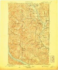
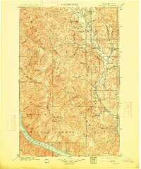
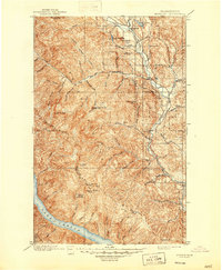
Other maps of this area

1899 · Methow
USGS Topo · 1:125,000

1901 · Chelan
USGS Topo · 1:125,000

1901 · Methow
USGS Topo · 1:125,000

1901 · Chiwaukum
USGS Topo · 1:125,000

1902 · Stehekin
USGS Topo · 1:125,000

1904 · Stehekin
USGS Topo · 1:125,000

1904 · Chiwaukum
USGS Topo · 1:125,000

1905 · Okanogan
USGS Topo · 1:125,000

1906 · Chopaka
USGS Topo · 1:125,000

1920 · Slate Pass
USGS Topo · 1:125,000