
1969 Map of Bluestem
USGS Topo · Published 1972About this map
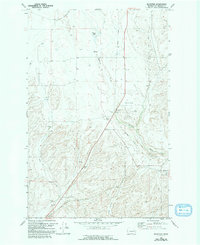
Bluestem serves as a focal point in this Lincoln County landscape, situated where the Burlington Northern line tracks alongside Bluestem Creek. The presence of substantial Grain Elevators at this junction underscores the region's agricultural dependence on rail transport during the late 1960s. Further north, the settlement of Negus sits along the rail corridor, while remnants of the past are visible in the form of an Old Railroad Grade that cuts through the terrain near Bruns Flat.
Find a feature on this map
19 named features on this map. Tap any name to fly to it.
Don’t see what you’re looking for? This feature index may not catch every label — zoom into the map to look around manually.
Map Details
Editions of this 1969 Bluestem Map
2 editions found
Other maps of this area

1953 · Ritzville
USGS Topo · 1:250,000

1959 · Ritzville
USGS Topo · 1:250,000

1965 · Ritzville
USGS Topo · 1:250,000

1969 · Harrington
USGS Topo · 1:24,000

1969 · Lords Valley
USGS Topo · 1:24,000
1969 · Mondovi
USGS Topo · 1:24,000

1969 · Rocklyn
USGS Topo · 1:24,000

1969 · Omans
USGS Topo · 1:24,000
1969 · Rocklyn SE
USGS Topo · 1:24,000
1969 · Davenport
USGS Topo · 1:24,000