2023 Map of Davis
USGS Topo · Published 2023About this map
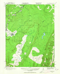
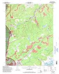
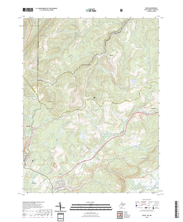
Davis and Thomas serve as the primary hubs of this landscape, situated at the southwestern edge of a high plateau where the Blackwater River and its tributaries carve through the terrain. The map captures the rugged borderlands between West Virginia and Maryland, defined by the winding course of the North Branch Potomac River and the prominent ridge of Backbone Mountain. High points like Hoye-Crest and Roger Camp Hill punctuate the ridges, while the valley floors are marked by the presence of the Monongahela National Forest and the Canaan Valley National Wildlife Refuge. Small settlements and historical sites such as Fairfax, Dobbin, and Kempton are scattered along the rail and river corridors, providing a detailed look at the rural infrastructure and land use in this part of the Allegheny Mountains. Local history is grounded in specific sites like the Knotts Family Cem and Thomas Cem, reflecting the generations of families who settled these mountain gaps.
Find a feature on this map
83 named features on this map. Tap any name to fly to it.
Don’t see what you’re looking for? This feature index may not catch every label — zoom into the map to look around manually.
Map Details
Editions of this 2023 Davis Map
This is the sole edition of this map. No revisions or reprints were ever made.
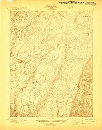
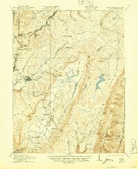
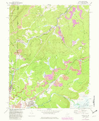
Historical Maps of Kempton Through Time
8 maps found