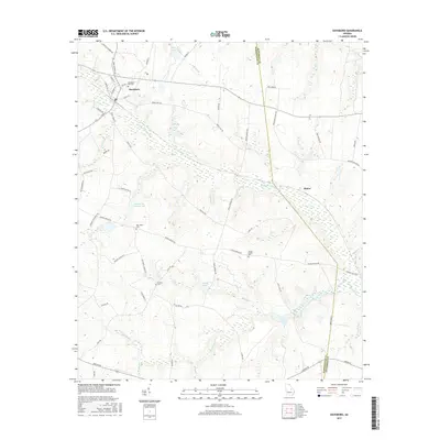
2017 Map of Davisboro
USGS Topo · Published 2017About this map
Davisboro serves as the primary hub of this 2017 survey, situated at the boundary of Washington and Jefferson Counties in eastern Georgia. The town is defined by its grid of streets such as S Main St and Tatum St, and it is surrounded by a landscape carved by the extensive Williamson Swamp Cr drainage system. To the southeast lies the small settlement of Almira, where the wetlands of the swamp broaden significantly.
Find a feature on this map
64 named features on this map. Tap any name to fly to it.
Don’t see what you’re looking for? This feature index may not catch every label — zoom into the map to look around manually.
Map Details
Editions of this 2017 Davisboro Map
This is the sole edition of this map. No revisions or reprints were ever made.
Other maps of this area

1920 · Stapleton
USGS Topo · 1:62,500

1948 · Stapleton
USGS Topo · 1:62,500

1948 · Louisville
USGS Topo · 1:24,000

1950 · Louisville
USGS Topo · 1:24,000

1953 · Athens
USGS Topo · 1:250,000

1957 · Macon
USGS Topo · 1:250,000

1958 · Macon
USGS Topo · 1:250,000

1958 · Athens
USGS Topo · 1:250,000

1959 · Athens
USGS Topo · 1:250,000

1963 · Athens
USGS Topo · 1:250,000