Loading...
Loading map...2022 Map of Dawson
USGS Topo · Published 2022About this map
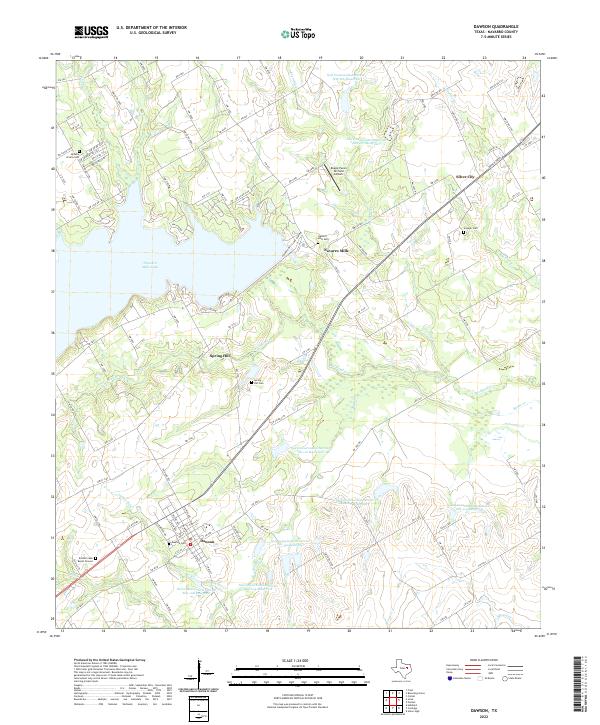
Dawson serves as the primary hub in this Navarro County landscape, situated at the intersection of several farm-to-market roads and local routes. The town’s history is anchored by the Dawson Cem and the nearby Battle Creek Burial Ground, reflecting long-standing community roots. To the north, Navarro Mills Lake dominates the terrain, with the small settlements of Navarro Mills and Silver City positioned along its eastern and northern reaches.
Find a feature on this map
109 named features on this map. Tap any name to fly to it.
Don’t see what you’re looking for? This feature index may not catch every label — zoom into the map to look around manually.
Map Details
Date Portrayed2022
Date Published2022
PublisherU.S. Geological Survey
Map TypeTopographic
Scale1:24000
Physical Dimensions24 x 29 inches
Editions of this 2022 Dawson Map
This is the sole edition of this map. No revisions or reprints were ever made.
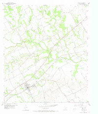
Historical Maps of Navarro Mills Through Time
Featured Locations
Source Details
SourceU.S. Geological Survey
CopyrightPublic Domain