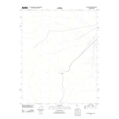
2012 Map of Daylight Pass
USGS Topo · Published 2012About this map
Daylight Pass serves as a critical geographic crossing within this arid landscape on the border of California and Nevada. In this 2012 survey, the terrain is defined by its water sources, which were historically vital for transit through the high desert. Researchers can locate Daylight Spring situated near the pass itself, while Willow Spring is found further to the northwest. The primary artery through this region is Daylight Pass Rd, which winds through the elevation changes to connect these remote points. The scarcity of named features emphasizes the isolation of the area, where life and travel are dictated by the presence of these few reliable springs and the natural corridors between the mountains.
Find a feature on this map
4 named features on this map. Tap any name to fly to it.
Don’t see what you’re looking for? This feature index may not catch every label — zoom into the map to look around manually.
Map Details
Editions of this 2012 Daylight Pass Map
This is the sole edition of this map. No revisions or reprints were ever made.
Other maps of this area

1908 · Furnace Creek
USGS Topo · 1:250,000

1908 · Ballarat
USGS Topo · 1:250,000

1910 · Furnace Creek
USGS Topo · 1:250,000

1913 · Ballarat
USGS Topo · 1:250,000

1942 · Bullfrog
USGS Topo · 1:125,000

1948 · Death Valley
USGS Topo · 1:250,000

1952 · Chloride Cliff
USGS Topo · 1:50,000

1952 · Stovepipe Wells
USGS Topo · 1:62,500

1954 · Bullfrog
USGS Topo · 1:62,500

1954 · Death Valley
USGS Topo · 1:250,000