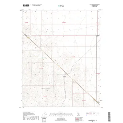
2018 Map of Daylight Pass
USGS Topo · Published 2018About this map
Death Valley National Park encompasses the rugged divide between the Grapevine Mountains and the Funeral Mountains in this high-desert survey. Centered on Daylight Pass, the terrain is defined by extreme elevation changes, dropping from the heights of Corkscrew Peak down into the deep incision of Boundary Canyon. Rare water sources like Willow Spring and Daylight Spring are critical landmarks in a landscape that transitions from the Mojave Desert into the Amargosa Desert. Route 374 serves as the primary artery through the pass, crossing the state line between Inyo County, California, and Nye County, Nevada. The map captures a topography where complex township and range lines meet the irregular natural boundaries of the national park, highlighting the remote geography of the borderlands.
Find a feature on this map
21 named features on this map. Tap any name to fly to it.
Don’t see what you’re looking for? This feature index may not catch every label — zoom into the map to look around manually.
Map Details
Editions of this 2018 Daylight Pass Map
This is the sole edition of this map. No revisions or reprints were ever made.
Other maps of this area

1908 · Furnace Creek
USGS Topo · 1:250,000

1908 · Ballarat
USGS Topo · 1:250,000

1910 · Furnace Creek
USGS Topo · 1:250,000

1913 · Ballarat
USGS Topo · 1:250,000

1942 · Bullfrog
USGS Topo · 1:125,000

1948 · Death Valley
USGS Topo · 1:250,000

1952 · Chloride Cliff
USGS Topo · 1:50,000

1952 · Stovepipe Wells
USGS Topo · 1:62,500

1954 · Bullfrog
USGS Topo · 1:62,500

1954 · Death Valley
USGS Topo · 1:250,000