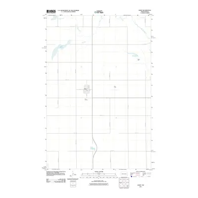
2011 Map of Dazey
USGS Topo · Published 2011About this map
The agricultural landscape surrounding Dazey in northern Barnes County is defined by its prairie drainage systems and rural land divisions. Silver Creek meanders across the northwestern corner of the quadrangle, while Baldhill Creek cuts through the northeastern sector, illustrating the glacial hydrology typical of this part of North Dakota. The area's water resources are further managed by infrastructure like Dazey Dam at Hanson Lake, providing a specific look at local water conservation efforts.
Find a feature on this map
21 named features on this map. Tap any name to fly to it.
Don’t see what you’re looking for? This feature index may not catch every label — zoom into the map to look around manually.
Map Details
Editions of this 2011 Dazey Map
This is the sole edition of this map. No revisions or reprints were ever made.
Other maps of this area

1952 · New Rockford
USGS Topo · 1:250,000

1956 · New Rockford
USGS Topo · 1:250,000

1961 · Leal
USGS Topo · 1:24,000

1961 · Baldhill Dam
USGS Topo · 1:24,000

1961 · Revere
USGS Topo · 1:24,000

1961 · Hannaford
USGS Topo · 1:24,000

1961 · Wimbledon NE
USGS Topo · 1:24,000

1961 · Rogers
USGS Topo · 1:24,000

1961 · Dazey NE
USGS Topo · 1:24,000

1961 · Dazey
USGS Topo · 1:24,000