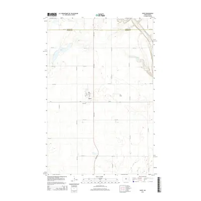
2014 Map of Dazey
USGS Topo · Published 2014About this map
Dazey serves as the central hub of this prairie landscape, situated near the boundary where Griggs and Barnes Counties meet. This 2014 survey documents the enduring grid of agricultural roads, including CR-4 and ND-26, which define the region's rural economy. The geography is characterized by several distinct water bodies, notably the depressions of Lake Benson and Hanson Lake, alongside the winding course of Silver Creek in the north and Baldhill Creek along the eastern edge. Local infrastructure is anchored by the Dazey Cemetery just south of town and the private Bryn Airport, illustrating the sparse but organized settlement pattern of the eastern North Dakota plains in the early 21st century.
Find a feature on this map
17 named features on this map. Tap any name to fly to it.
Don’t see what you’re looking for? This feature index may not catch every label — zoom into the map to look around manually.
Map Details
Editions of this 2014 Dazey Map
This is the sole edition of this map. No revisions or reprints were ever made.
Other maps of this area

1952 · New Rockford
USGS Topo · 1:250,000

1956 · New Rockford
USGS Topo · 1:250,000

1961 · Leal
USGS Topo · 1:24,000

1961 · Baldhill Dam
USGS Topo · 1:24,000

1961 · Revere
USGS Topo · 1:24,000

1961 · Hannaford
USGS Topo · 1:24,000

1961 · Wimbledon NE
USGS Topo · 1:24,000

1961 · Rogers
USGS Topo · 1:24,000

1961 · Dazey NE
USGS Topo · 1:24,000

1961 · Dazey
USGS Topo · 1:24,000