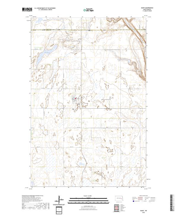
2024 Map of Dazey
USGS Topo · Published 2024About this map
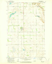
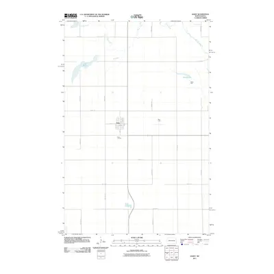
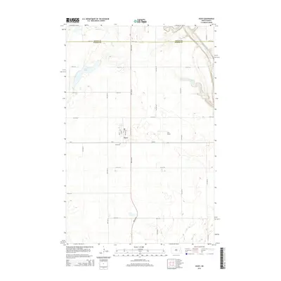
The settlement of Dazey serves as the focal point for this section of the North Dakota plains, situated at the intersection of a rigid grid of section roads. The landscape is defined by its glacial prairie potholes and drainages, including the meandering Baldhill Creek in the northeast and Silver Creek to the north. Local landmarks such as Bryn Airport and the Dazey Cem reflect the community's infrastructure and history, while the surrounding acreage is increasingly dedicated to conservation, as seen in the Barnes County Waterfowl Production Area and the Griggs County Waterfowl Production Area. Water bodies like Lake Benson and Hanson Lake dot the terrain, which transitions from agricultural fields to protected wetlands. This 2024 map documents the modern layout of Barnes and Griggs counties, illustrating the continued significance of land management and local aviation in the region.
Find a feature on this map
34 named features on this map. Tap any name to fly to it.
Don’t see what you’re looking for? This feature index may not catch every label — zoom into the map to look around manually.
Map Details
Editions of this 2024 Dazey Map
This is the sole edition of this map. No revisions or reprints were ever made.
Historical Maps of Dazey Through Time
6 maps found