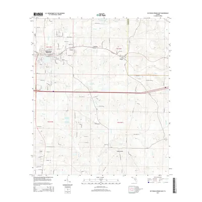
2015 Map of De Funiak Springs East
USGS Topo · Published 2015About this map
De Funiak Springs serves as the primary hub in this portion of the Florida Panhandle, where the urban grid gives way to a complex network of creeks and drainage basins. The area south of the main settlement transition into a landscape defined by significant water bodies such as Bruce Creek and Panther Creek, alongside smaller features like S D Ingram Pond One and C J King Junior Pond. The map illustrates a rural economy evolving around the older communities of Eucheeanna and Argyle, connected by a series of county roads and historic corridors like Old Highway 90. This survey provides a look at the intersection of aviation and regional transport at Cuchens Airport, situated near the headwaters of Blount Creek and Indian Creek.
Find a feature on this map
90 named features on this map. Tap any name to fly to it.
Don’t see what you’re looking for? This feature index may not catch every label — zoom into the map to look around manually.
Map Details
Editions of this 2015 De Funiak Springs East Map
This is the sole edition of this map. No revisions or reprints were ever made.
Other maps of this area

1935 · De Funiak Springs
USGS Topo · 1:48,000

1938 · De Funiak Springs
USGS Topo · 1:62,500

1948 · Ponce De Leon
USGS Topo · 1:24,000

1949 · Glendale
USGS Topo · 1:62,500

1949 · Redbay
USGS Topo · 1:24,000

1950 · Prosperity
USGS Topo · 1:24,000

1950 · Ponce De Leon
USGS Topo · 1:24,000

1950 · Redbay
USGS Topo · 1:24,000

1951 · Glendale
USGS Topo · 1:62,500

1954 · Tallahassee
USGS Topo · 1:250,000