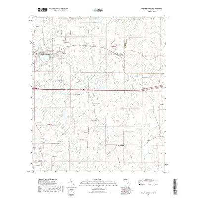
2018 Map of De Funiak Springs East
USGS Topo · Published 2018About this map
De Funiak Springs anchors this Northwest Florida landscape, centered on the perfectly circular Lake DeFuniak. The map traces the historical path of the Old Spanish Trl as it passes through Argyle, paralleling the modern transit corridors that define the region's current development. To the south, the settlement of Eucheeanna sits amidst a network of small water bodies like Otter Br and Long Br, reflecting an area where small-scale agriculture and rural homesteads have long persisted.
Find a feature on this map
125 named features on this map. Tap any name to fly to it.
Don’t see what you’re looking for? This feature index may not catch every label — zoom into the map to look around manually.
Map Details
Editions of this 2018 De Funiak Springs East Map
This is the sole edition of this map. No revisions or reprints were ever made.
Other maps of this area

1935 · De Funiak Springs
USGS Topo · 1:48,000

1938 · De Funiak Springs
USGS Topo · 1:62,500

1948 · Ponce De Leon
USGS Topo · 1:24,000

1949 · Glendale
USGS Topo · 1:62,500

1949 · Redbay
USGS Topo · 1:24,000

1950 · Prosperity
USGS Topo · 1:24,000

1950 · Ponce De Leon
USGS Topo · 1:24,000

1950 · Redbay
USGS Topo · 1:24,000

1951 · Glendale
USGS Topo · 1:62,500

1954 · Tallahassee
USGS Topo · 1:250,000