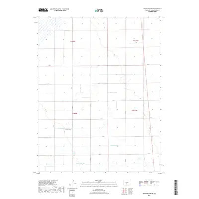
2019 Map of Deadman Camp SW
USGS Topo · Published 2019About this map
Agricultural water management and a precise grid of county roads define this portion of Saguache County. The Farmers Union Canal and Gibson Ditch anchor a system of irrigation channels, including the N Lateral, N Central Lateral, and Lateral Fortyseven, that distribute water across the high plains. The landscape is structured by the Public Land Survey System, with boundaries such as t42n r9e and t41n r10e guiding the placement of local thoroughfares. While much of the land is accessed via numbered routes like Co RD 57 and Co RD G, smaller local identifiers like Peppers Ln and Holly Dr provide specific reference points for property research and land ownership history in this rural corridor.
Find a feature on this map
27 named features on this map. Tap any name to fly to it.
Don’t see what you’re looking for? This feature index may not catch every label — zoom into the map to look around manually.
Map Details
Editions of this 2019 Deadman Camp SW Map
This is the sole edition of this map. No revisions or reprints were ever made.
Other maps of this area

1915 · Del Norte
USGS Topo · 1:125,000

1917 · Del Norte
USGS Topo · 1:125,000

1945 · Durango
USGS Topo · 1:250,000

1953 · Durango
USGS Topo · 1:250,000

1954 · Durango
USGS Topo · 1:250,000

1954 · Trinidad
USGS Topo · 1:250,000

1955 · Trinidad
USGS Topo · 1:250,000

1958 · Trinidad
USGS Topo · 1:250,000

1959 · Trinidad
USGS Topo · 1:250,000

1961 · Durango
USGS Topo · 1:250,000