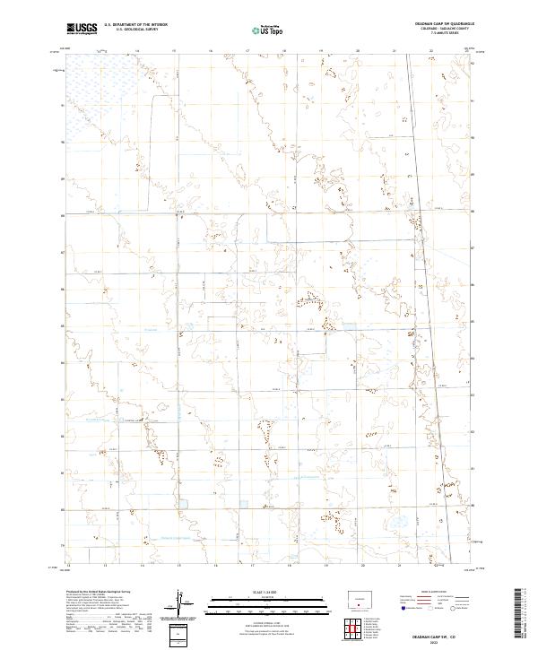
2022 Map of Deadman Camp SW
USGS Topo · Published 2022About this map
The Farmers Union Canal anchors the southern reaches of this landscape, illustrating the critical role of water management in the Saguache County plains. This high-altitude agricultural grid is defined by a systematic network of irrigation features, including the Gibson Ditch and the N Lateral, which branch across the terrain to sustain the surrounding land. The rectilinear organization of the road system, marked by corridors like Co Rd 57 and Co Rd G, reflects the intersection of the Public Land Survey System and the practical needs of rural transport. Small-scale landmarks such as Peppers Ln and Holly Dr offer specific points of interest for local historians studying the evolution of land use and habitation in this part of Colorado. The map reveals how the N Central Lateral and Lateral Fortyseven integrate with the natural topography to create a functional, managed environment.
Find a feature on this map
26 named features on this map. Tap any name to fly to it.
Don’t see what you’re looking for? This feature index may not catch every label — zoom into the map to look around manually.
Map Details
Editions of this 2022 Deadman Camp SW Map
This is the sole edition of this map. No revisions or reprints were ever made.
Other maps of this area

1915 · Del Norte
USGS Topo · 1:125,000

1917 · Del Norte
USGS Topo · 1:125,000

1945 · Durango
USGS Topo · 1:250,000

1953 · Durango
USGS Topo · 1:250,000

1954 · Durango
USGS Topo · 1:250,000

1954 · Trinidad
USGS Topo · 1:250,000

1955 · Trinidad
USGS Topo · 1:250,000

1958 · Trinidad
USGS Topo · 1:250,000

1959 · Trinidad
USGS Topo · 1:250,000

1961 · Durango
USGS Topo · 1:250,000