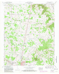
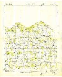
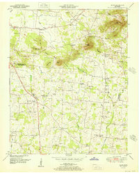
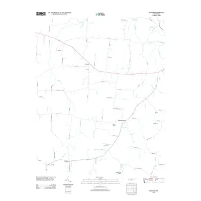
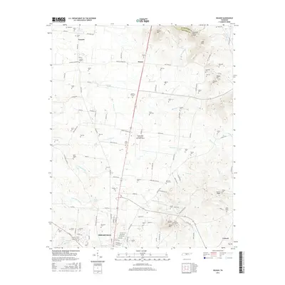
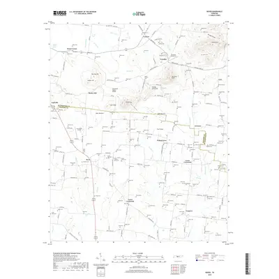
1966 Map of Deason
USGS Topo · Published 1981About this map
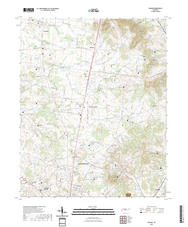
Shelbyville expands northward into rural Bedford County in the mid-1960s, a period of transition marked by the suburban development of Fairlane Estates and the presence of the Shelbyville Municipal Airport Bomar Field. The landscape is defined by the Tennessee Valley Divide and the Epps Hills, where small farming communities like Deason and Vannatta are connected by historical thoroughfares such as the Florida Short Route. The topographic data reveals a complex network of family cemeteries and rural congregations, including the Erwin Slave Cem and Hart Chapel Cem & Northside Ch, which provide significant genealogical touchstones. Along the eastern edge, the Louisville and Nashville Railroad parallels Bell Buckle Creek, underscoring the region's enduring reliance on rail transport for its agricultural and industrial economy.
Find a feature on this map
79 named features on this map. Tap any name to fly to it.
Don’t see what you’re looking for? This feature index may not catch every label — zoom into the map to look around manually.
Map Details
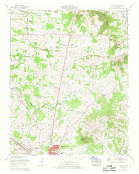
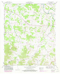
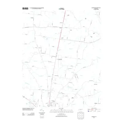
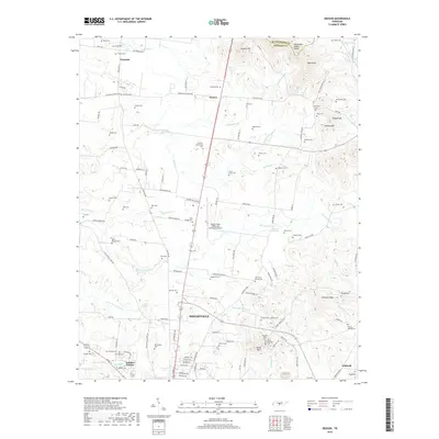
Editions of this 1966 Deason Map
2 editions found
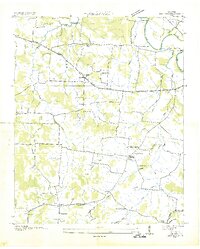
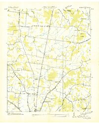
Historical Maps of Shelbyville Through Time
23 maps found
1936 Bedford
Bedford County, TN
1936 Deason
Bedford County, TN
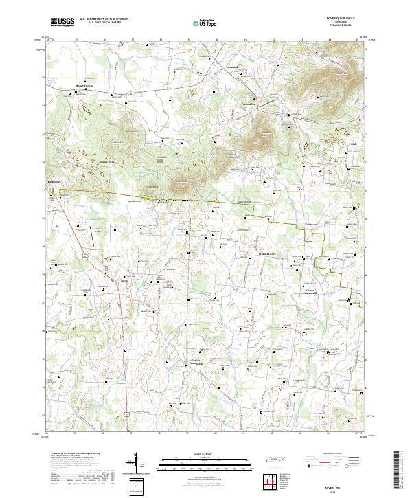
1936 Rover
Bedford County, TN
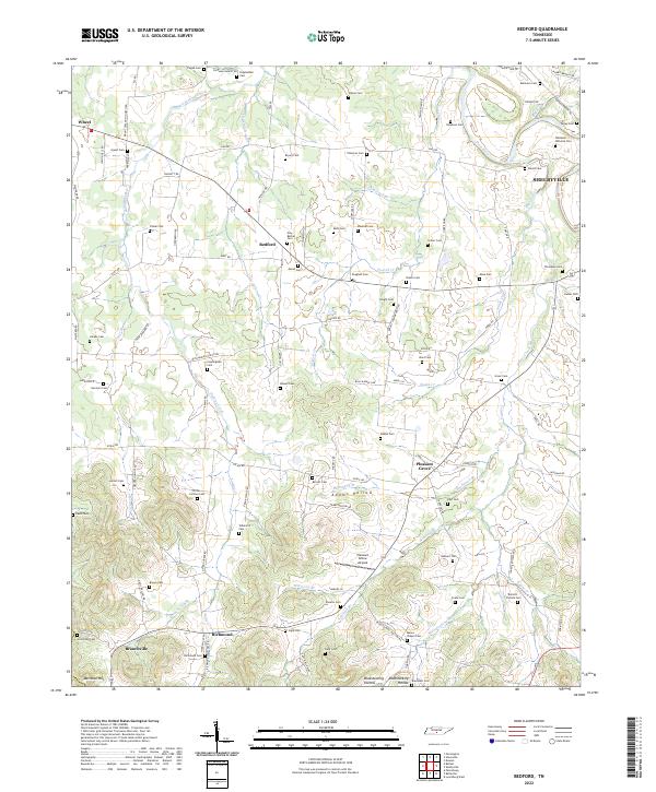
1947 Bedford
Bedford County, TN
1949 Rover
Bedford County, TN
1951 Deason
Bedford County, TN
1951 Rover
Bedford County, TN
1966 Deason
Bedford County, TN
2010 Bedford
Bedford County, TN
2010 Deason
Bedford County, TN
2010 Rover
Bedford County, TN
2013 Bedford
Bedford County, TN
2013 Deason
Bedford County, TN
2013 Rover
Bedford County, TN
2016 Bedford
Bedford County, TN
2016 Deason
Bedford County, TN
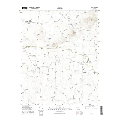
2016 Rover
Bedford County, TN
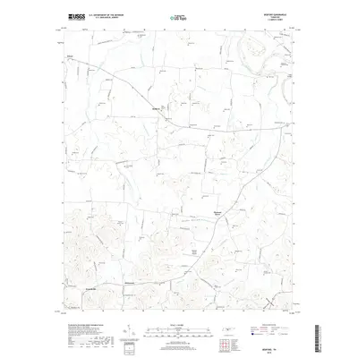
2019 Bedford
Bedford County, TN
2019 Deason
Bedford County, TN
2019 Rover
Bedford County, TN
2022 Bedford
Bedford County, TN
2022 Deason
Bedford County, TN
2022 Rover
Bedford County, TN