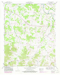
1947 Map of Bedford
USGS Topo · Published 1982About this map
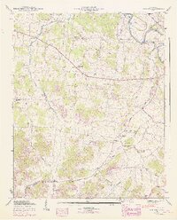
The Duck River winds through the northeast corner of this rural landscape, defined by a network of family-named roads and crossings like Sims Bridge and Temple Ford. This mid-century survey illustrates the rural character of the Bedford and Marshall County line, where small communities like Wheel and Bedford served as local anchors. The map reveals a dense distribution of social and family history sites, including Fairview Sch and numerous burial grounds such as Pisgah Cem, Gaunt Cem, and Redd Cem.
Find a feature on this map
46 named features on this map. Tap any name to fly to it.
Don’t see what you’re looking for? This feature index may not catch every label — zoom into the map to look around manually.
Map Details
Editions of this 1947 Bedford Map
6 editions found
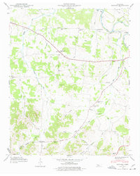
Other maps of this area

1936 · Booneville
USGS Topo · 1:24,000

1936 · Farmington
USGS Topo · 1:24,000

1936 · Shelbyville
USGS Topo · 1:24,000

1936 · Belfast
USGS Topo · 1:24,000

1936 · Deason
USGS Topo · 1:24,000

1936 · Belleville
USGS Topo · 1:24,000

1936 · Petersburg
USGS Topo · 1:24,000

1936 · Unionville
USGS Topo · 1:24,000

1936 · Bedford
USGS Topo · 1:24,000

1944 · Shelbyville
USGS Topo · 1:100,000