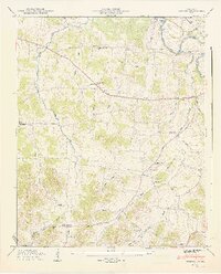
1947 Map of Bedford
USGS Topo · Published 1948About this map
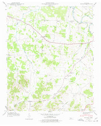
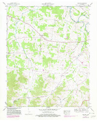
The Duck River winds through the northeastern corner of this landscape, marking a terrain defined by narrow hollows and small family settlements just after World War II. The area is anchored by the community of Bedford, where the New Bethel Ch stands near the intersection of local routes. Further south, the map reveals a high density of rural institutions, including Richmond Sch and Richmond Ch, situated along the Richmond Road. The topography is etched with names like Adams Hollow and Bluestocking Hollow, illustrating a deeply personal geography where landmarks carry the names of local residents. This 1947 field examination captures a network of country schools like Thompson Grove Sch and Powell Creek Sch and numerous small burial grounds such as Pisgah Cem and Russell Cem, providing an essential record for genealogical research in this part of Middle Tennessee.
Find a feature on this map
49 named features on this map. Tap any name to fly to it.
Don’t see what you’re looking for? This feature index may not catch every label — zoom into the map to look around manually.
Map Details
Editions of this 1947 Bedford Map
6 editions found
Other maps of this area

1936 · Booneville
USGS Topo · 1:24,000

1936 · Farmington
USGS Topo · 1:24,000

1936 · Shelbyville
USGS Topo · 1:24,000

1936 · Belfast
USGS Topo · 1:24,000

1936 · Deason
USGS Topo · 1:24,000

1936 · Belleville
USGS Topo · 1:24,000

1936 · Petersburg
USGS Topo · 1:24,000

1936 · Unionville
USGS Topo · 1:24,000

1936 · Bedford
USGS Topo · 1:24,000

1944 · Shelbyville
USGS Topo · 1:100,000