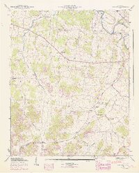
1947 Map of Bedford
USGS Topo · Published 1967About this map
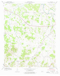
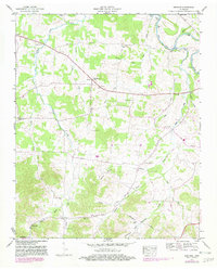
The Duck River winds through the northern portion of this landscape, its banks marked by features like Fairview Sch and Powell Creek Sch. This mid-century survey reflects a deeply rural settlement pattern in Middle Tennessee, where small communities like Richmond and Branchville served as local anchors. The map is particularly rich in genealogical data, preserving the locations of numerous family and community burial grounds, including Redd Cem, Coleman Cem, and Russell Cem.
Find a feature on this map
43 named features on this map. Tap any name to fly to it.
Don’t see what you’re looking for? This feature index may not catch every label — zoom into the map to look around manually.
Map Details
Editions of this 1947 Bedford Map
6 editions found
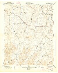
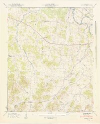
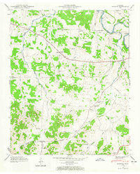
Other maps of this area

1936 · Booneville
USGS Topo · 1:24,000

1936 · Farmington
USGS Topo · 1:24,000

1936 · Shelbyville
USGS Topo · 1:24,000

1936 · Belfast
USGS Topo · 1:24,000

1936 · Deason
USGS Topo · 1:24,000

1936 · Belleville
USGS Topo · 1:24,000

1936 · Petersburg
USGS Topo · 1:24,000

1936 · Unionville
USGS Topo · 1:24,000

1936 · Bedford
USGS Topo · 1:24,000

1944 · Shelbyville
USGS Topo · 1:100,000