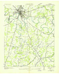
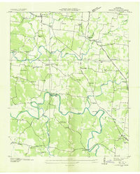
1936 Map of Shelbyville
USGS Topo · Published 1936About this map
The Duck River winds through the heart of Bedford County, anchoring the industrial and agricultural life of Shelbyville and its surrounding rural communities during the mid-1930s. This survey, conducted by the Tennessee Valley Authority and USGS, reveals a landscape defined by its river-driven economy, notably at Shelbyville Mills and the local Power Plant. The town's grid is bounded by a clear Corporation Line, while the Nashville Chattanooga and St Louis railroad provides the primary connection to broader markets. Beyond the county seat, the map details a network of family-named landmarks and rural centers like Himesville and Flat Creek. Numerous community anchors are documented, from St Marks Ch and Mullins Chapel to schools such as Mt Zion Sch and Holly Grove Sch, offering valuable evidence for genealogists tracing local family history in this era of Tennessee's development.
Find a feature on this map
73 named features on this map. Tap any name to fly to it.
Don’t see what you’re looking for? This feature index may not catch every label — zoom into the map to look around manually.
Map Details
Editions of this 1936 Shelbyville Map
This is the sole edition of this map. No revisions or reprints were ever made.
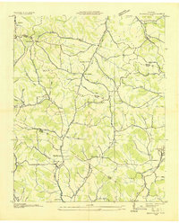
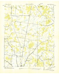
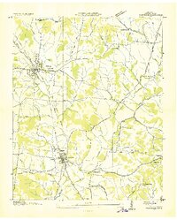
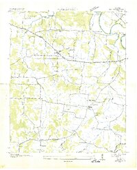
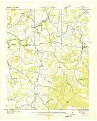
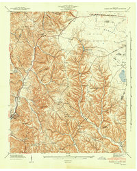
Other maps of this area
1936 · Booneville
USGS Topo · 1:24,000
1936 · Deason
USGS Topo · 1:24,000

1936 · Cumberland Springs
USGS Topo · 1:24,000

1936 · Belleville
USGS Topo · 1:24,000
1936 · Wartrace
USGS Topo · 1:24,000
1936 · Unionville
USGS Topo · 1:24,000
1936 · Bedford
USGS Topo · 1:24,000
1936 · Normandy
USGS Topo · 1:24,000
1941 · Cumberland Springs
USGS Topo · 1:24,000

1944 · Shelbyville
USGS Topo · 1:100,000